Transport Functions
Rail
Road
Hub Profile
Place type
Populated place
Region
Western Australia
Population
452
Time zone
Australia/Perth
Elevation
280 m
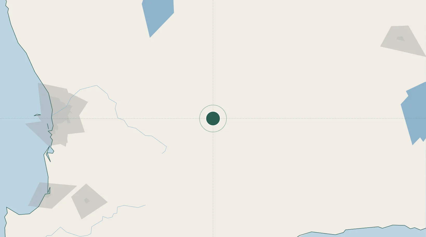
Location
Nearby Logistics Neighbours
Cities
- 1Hyden62 km
- 2Merredin66 km
- 3Kellerberrin81 km
- 4Quairading93 km
- 5Cunderdin118 km
Airports
- 1RAAF Base Pearce228 km
- 2Perth International Airport228 km
- 3Perth Jandakot Airport236 km
- 4Albany Airport324 km
- 5Kalgoorlie Boulder Airport325 km
Trade Zones
- 1KEK Mandalika2586 km
- 2Oecusse Ambeno Enclave Special Zone For Social Market Economy (Zeesm)2600 km
- 3KEK Singhasari2754 km
- 4Atauro Special Economic Zone2754 km
- 5Pasuruan Industrial Estate Rembang2780 km
DatabookThe Record of Consolidated Knowledge
Australia beyond logistics?