Transport Functions
Rail
Road
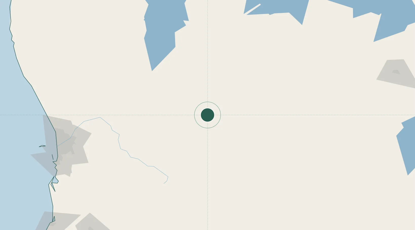
Hub Profile
Place type
Populated place
Region
Western Australia
Population
2,851
Time zone
Australia/Perth
Elevation
320 m
Location
Nearby Logistics Neighbours
Cities
- 1Kellerberrin58 km
- 2Mukinbudin64 km
- 3Narembeen66 km
- 4Bencubbin85 km
- 5Wyalkatchem93 km
Airports
- 1RAAF Base Pearce216 km
- 2Perth International Airport225 km
- 3Perth Jandakot Airport237 km
- 4Karara Airport295 km
- 5Kalgoorlie Boulder Airport312 km
Trade Zones
- 1KEK Mandalika2520 km
- 2Oecusse Ambeno Enclave Special Zone For Social Market Economy (Zeesm)2540 km
- 3KEK Singhasari2689 km
- 4Atauro Special Economic Zone2696 km
- 5Pasuruan Industrial Estate Rembang2715 km
DatabookThe Record of Consolidated Knowledge
Australia beyond logistics?