Transport Functions
Rail
Road
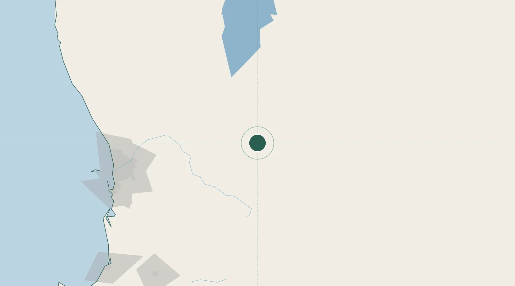
Hub Profile
Place type
Populated place
Region
Western Australia
Population
962
Time zone
Australia/Perth
Elevation
254 m
Location
Nearby Logistics Neighbours
Cities
- 1Cunderdin44 km
- 2Quairading51 km
- 3Merredin58 km
- 4Wyalkatchem59 km
- 5Narembeen81 km
Airports
- 1RAAF Base Pearce160 km
- 2Perth International Airport167 km
- 3Perth Jandakot Airport179 km
- 4Karara Airport286 km
- 5Busselton Margaret River Regional Airport314 km
Trade Zones
- 1KEK Mandalika2533 km
- 2Oecusse Ambeno Enclave Special Zone For Social Market Economy (Zeesm)2572 km
- 3KEK Singhasari2693 km
- 4Pasuruan Industrial Estate Rembang2719 km
- 5Ngoro Industrial Park2728 km
DatabookThe Record of Consolidated Knowledge
Australia beyond logistics?