Transport Functions
Rail
Road
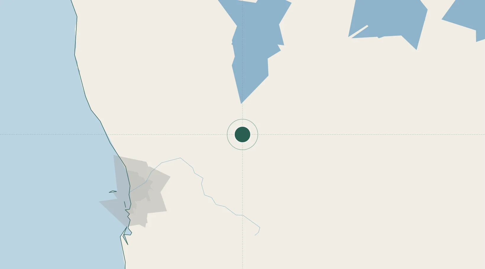
Hub Profile
Place type
Populated place
Region
Western Australia
Population
402
Time zone
Australia/Perth
Elevation
327 m
Location
Nearby Logistics Neighbours
Cities
- 1Cunderdin53 km
- 2Kellerberrin59 km
- 3Bencubbin62 km
- 4Northam84 km
- 5Mukinbudin85 km
Airports
- 1RAAF Base Pearce139 km
- 2Perth International Airport157 km
- 3Perth Jandakot Airport174 km
- 4Karara Airport228 km
- 5Busselton Margaret River Regional Airport334 km
Trade Zones
- 1KEK Mandalika2481 km
- 2Oecusse Ambeno Enclave Special Zone For Social Market Economy (Zeesm)2533 km
- 3KEK Singhasari2637 km
- 4Pasuruan Industrial Estate Rembang2664 km
- 5Ngoro Industrial Park2673 km
DatabookThe Record of Consolidated Knowledge
Australia beyond logistics?