Transport Functions
Rail
Road
Hub Profile
Place type
Populated place
Region
Western Australia
Population
353
Time zone
Australia/Perth
Elevation
313 m
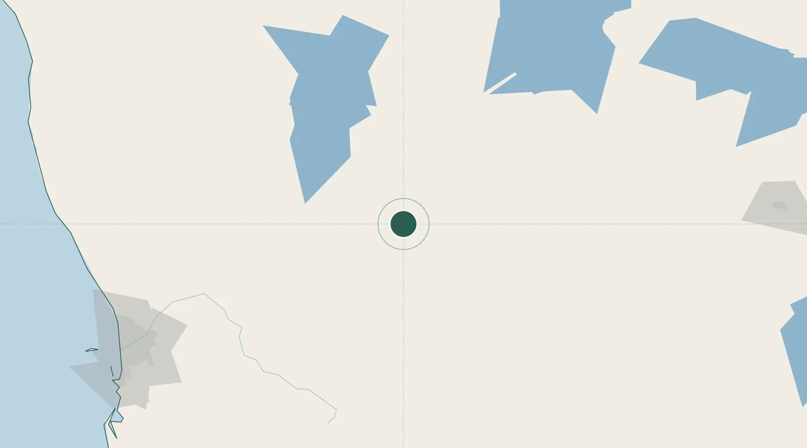
Location
Nearby Logistics Neighbours
Cities
- 1Bencubbin35 km
- 2Merredin64 km
- 3Wyalkatchem85 km
- 4Kellerberrin93 km
- 5Cunderdin123 km
Airports
- 1RAAF Base Pearce224 km
- 2Karara Airport239 km
- 3Perth International Airport241 km
- 4Perth Jandakot Airport256 km
- 5Kalgoorlie Boulder Airport312 km
Trade Zones
- 1KEK Mandalika2457 km
- 2Oecusse Ambeno Enclave Special Zone For Social Market Economy (Zeesm)2482 km
- 3KEK Singhasari2626 km
- 4Atauro Special Economic Zone2638 km
- 5Pasuruan Industrial Estate Rembang2652 km
DatabookThe Record of Consolidated Knowledge
Australia beyond logistics?