UN/LOCODE hub · Australia
AUMEZ

Mount Eliza

-38.1833°, 145.0833°
18,734
Population
1
Transport functions

Transport Functions

Multimodal
UN/LOCODE

Hub Profile

Place type
Urban district
GeoNames
Region
Victoria
GeoNames
Population
18,734
GeoNames
Time zone
Australia/Melbourne
GeoNames
Elevation
55 m
GeoNames

Location

Location of AUMEZ
Natural Earth 10m (public domain) · Victoria · AUMEZ · -38.18, 145.08GoogleOSMYandex

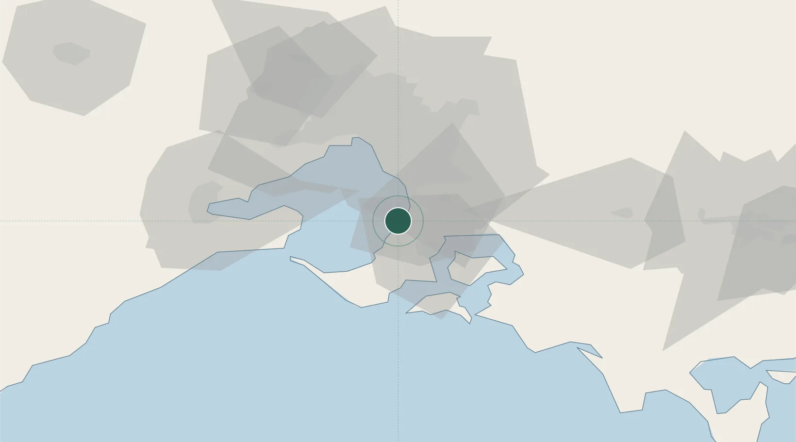
Nearby Logistics Neighbours

Cities
  1. 1Baxter6 km
  2. 2Bonbeach15 km
  3. 3Aspendale17 km
  4. 4Mordialloc19 km
  5. 5Hastings20 km
Nearest neighbours — logibook spatial index (haversine) over the source coordinates
Ports
  1. 1Western Port23 km
  2. 2Melbourne40 km
  3. 3Geelong63 km
  4. 4Welshpool134 km
  5. 5Warrnambool228 km
Nearest neighbours — logibook spatial index (haversine) over the source coordinates
Airports
  1. 1Melbourne Moorabbin Airport23 km
  2. 2Melbourne Essendon Airport53 km
  3. 3Melbourne Avalon International Airport56 km
  4. 4Melbourne Airport61 km
  5. 5Latrobe Valley Airport121 km
Nearest neighbours — logibook spatial index (haversine) over the source coordinates
Trade Zones
  1. 1Latrobe Valley Economic Growth Zone114 km
  2. 2Paga Hill Estate Special Economic Zone3198 km
  3. 3Vanuatu Economic Development Zone3322 km
  4. 4Ihu Special Economic Zone3368 km
  5. 5Morobe Agricultural Special Economic Zone3507 km
Nearest neighbours — logibook spatial index (haversine) over the source coordinates
DatabookThe Record of Consolidated Knowledge
Australia beyond logistics?
Browse databook

All Sources

LocationsUN/LOCODE
UN/LOCODE — free
LocationsGeoNames
CC BY 4.0
Portsthe NGA World Port Index
Public domain (US gov)
AirportsOurAirports
Public domain
Trade Zonesthe World Bank SEZ database
CC BY 4.0
Trade ZonesOpen Zone Map
CC BY
← Australia locations