UN/LOCODE hub · Australia
AUSNP

Sumner Park

-27.5667°, 152.9333°
1
Transport functions

Transport Functions

Multimodal
UN/LOCODE

Hub Profile

Region
QLD
GeoNames

Location

Location of AUSNP
Natural Earth 10m (public domain) · QLD · AUSNP · -27.57, 152.93GoogleOSMYandex

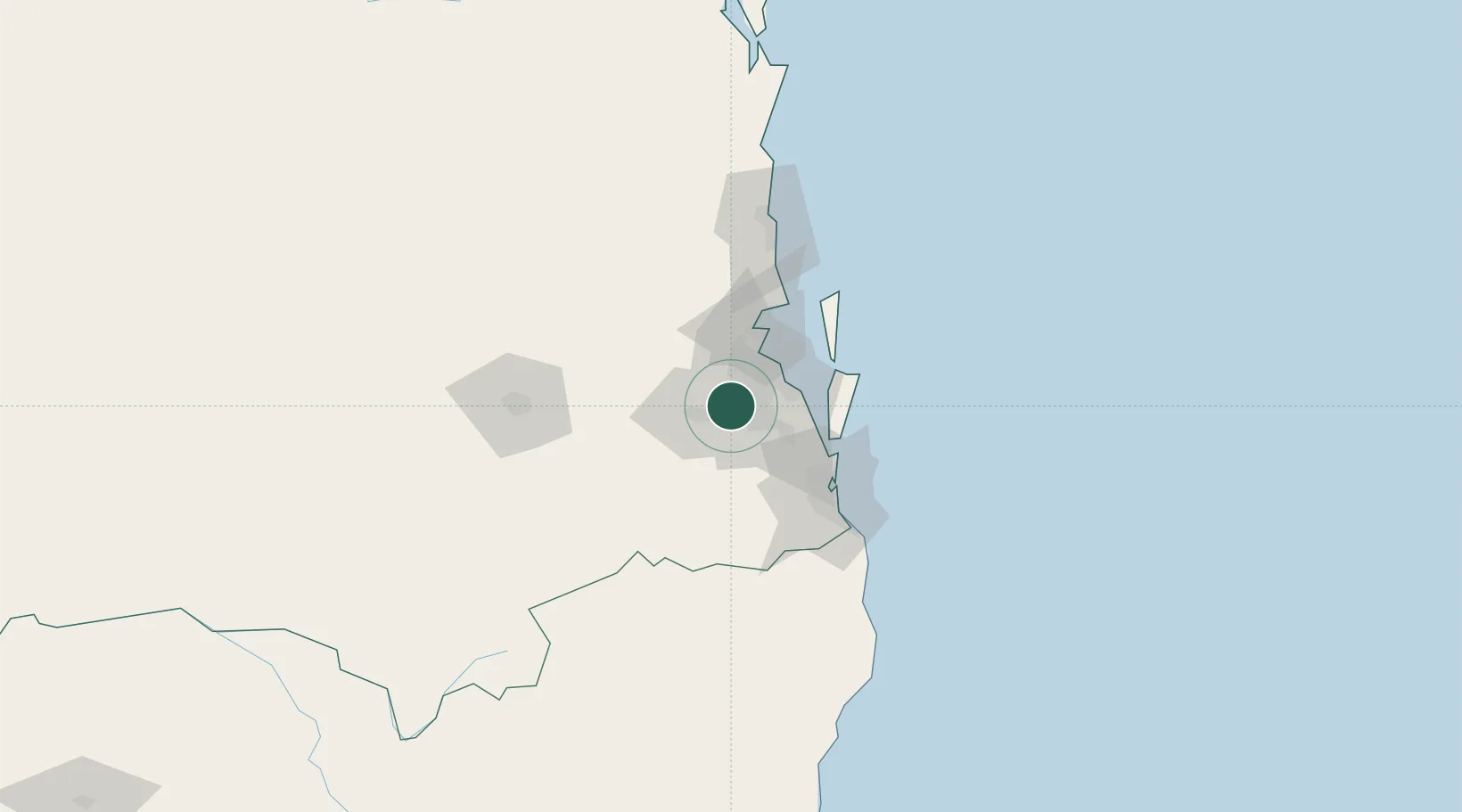
Nearby Logistics Neighbours

Cities
  1. 1Seventeen Mile Rocks/Brisbane3 km
  2. 2Kenmore6 km
  3. 3Fig Tree Pocket6 km
  4. 4Redbank8 km
  5. 5Archerfield8 km
Nearest neighbours — logibook spatial index (haversine) over the source coordinates
Ports
  1. 1Brisbane15 km
  2. 2Ballina157 km
  3. 3Bundaberg306 km
  4. 4Gladstone446 km
  5. 5Port Alma490 km
Nearest neighbours — logibook spatial index (haversine) over the source coordinates
Airports
  1. 1RAAF Base Amberley23 km
  2. 2Brisbane International Airport27 km
  3. 3Gold Coast Airport87 km
  4. 4Sunshine Coast Airport109 km
  5. 5Toowoomba Wellcamp Airport112 km
Nearest neighbours — logibook spatial index (haversine) over the source coordinates
Trade Zones
  1. 1Latrobe Valley Economic Growth Zone1333 km
  2. 2Vanuatu Economic Development Zone1988 km
  3. 3Paga Hill Estate Special Economic Zone2100 km
  4. 4Tulagi Island Special Economic Zone2188 km
  5. 5Ihu Special Economic Zone2327 km
Nearest neighbours — logibook spatial index (haversine) over the source coordinates
DatabookThe Record of Consolidated Knowledge
Australia beyond logistics?
Browse databook

All Sources

LocationsUN/LOCODE
UN/LOCODE — free
Portsthe NGA World Port Index
Public domain (US gov)
AirportsOurAirports
Public domain
Trade Zonesthe World Bank SEZ database
CC BY 4.0
Trade ZonesOpen Zone Map
CC BY
← Australia locations