Transport Functions
Rail
Road
Hub Profile
Place type
Populated place
Region
New South Wales
Population
152
Time zone
Australia/Sydney
Elevation
178 m
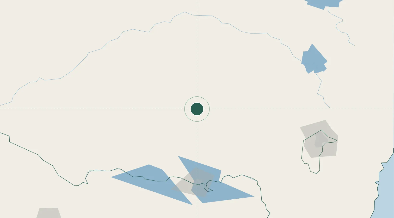
Location
Nearby Logistics Neighbours
Cities
- 1Ganmain11 km
- 2Grong Grong12 km
- 3Coolamon27 km
- 4Ardlethan46 km
- 5Beckom48 km
Ports
- 1Batemans Bay313 km
- 2Jervis Bay356 km
- 3Port Kembla367 km
- 4Eden372 km
- 5Melbourne383 km
Airports
- 1Narrandera Airport38 km
- 2Temora Airport67 km
- 3Wagga Wagga Airport67 km
- 4West Wyalong Airport96 km
- 5Griffith Airport97 km
Trade Zones
DatabookThe Record of Consolidated Knowledge
Australia beyond logistics?