Transport Functions
Rail
Road
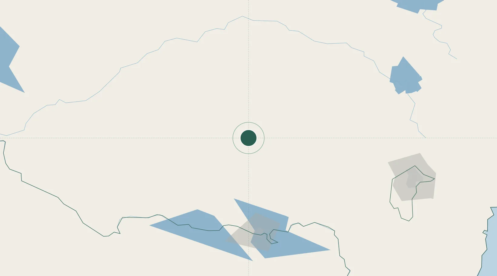
Hub Profile
Place type
Populated place
Region
New South Wales
Population
230
Time zone
Australia/Sydney
Elevation
167 m
Location
Nearby Logistics Neighbours
Ports
- 1Batemans Bay325 km
- 2Jervis Bay368 km
- 3Port Kembla379 km
- 4Melbourne380 km
- 5Eden382 km
Airports
- 1Narrandera Airport25 km
- 2Temora Airport76 km
- 3Wagga Wagga Airport78 km
- 4Griffith Airport86 km
- 5West Wyalong Airport98 km
Trade Zones
DatabookThe Record of Consolidated Knowledge
Australia beyond logistics?