UN/LOCODE hub · Australia
AUBLG

Beenleigh

-27.7167°, 153.2000°
8,171
Population
2
Transport functions

Transport Functions

Rail
Road
UN/LOCODE

Hub Profile

Place type
Urban district
GeoNames
Region
Queensland
GeoNames
Population
8,171
GeoNames
Time zone
Australia/Brisbane
GeoNames
Elevation
17 m
GeoNames

Location

Location of AUBLG
Natural Earth 10m (public domain) · Queensland · AUBLG · -27.72, 153.20GoogleOSMYandex

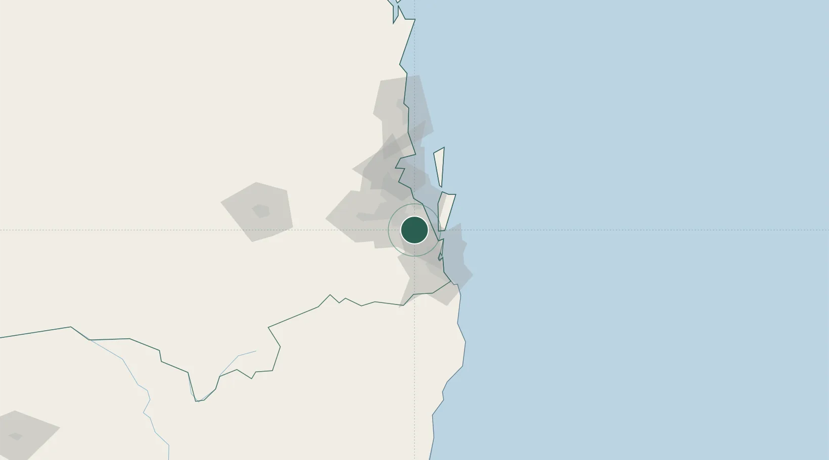
Nearby Logistics Neighbours

Cities
  1. 1Meadowbrook9 km
  2. 2Ormeau10 km
  3. 3Crestmead12 km
  4. 4Tambourine20 km
  5. 5Sunnybank21 km
Nearest neighbours — logibook spatial index (haversine) over the source coordinates
Ports
  1. 1Brisbane32 km
  2. 2Ballina133 km
  3. 3Bundaberg328 km
  4. 4Gladstone472 km
  5. 5Port Alma516 km
Nearest neighbours — logibook spatial index (haversine) over the source coordinates
Airports
  1. 1Brisbane International Airport38 km
  2. 2RAAF Base Amberley49 km
  3. 3Gold Coast Airport58 km
  4. 4Lismore Airport124 km
  5. 5Sunshine Coast Airport125 km
Nearest neighbours — logibook spatial index (haversine) over the source coordinates
Trade Zones
  1. 1Latrobe Valley Economic Growth Zone1330 km
  2. 2Vanuatu Economic Development Zone1979 km
  3. 3Paga Hill Estate Special Economic Zone2125 km
  4. 4Tulagi Island Special Economic Zone2194 km
  5. 5Ihu Special Economic Zone2352 km
Nearest neighbours — logibook spatial index (haversine) over the source coordinates
DatabookThe Record of Consolidated Knowledge
Australia beyond logistics?
Browse databook

All Sources

LocationsUN/LOCODE
UN/LOCODE — free
LocationsGeoNames
CC BY 4.0
Portsthe NGA World Port Index
Public domain (US gov)
AirportsOurAirports
Public domain
Trade Zonesthe World Bank SEZ database
CC BY 4.0
Trade ZonesOpen Zone Map
CC BY
← Australia locations