UN/LOCODE hub · Australia
AUACK
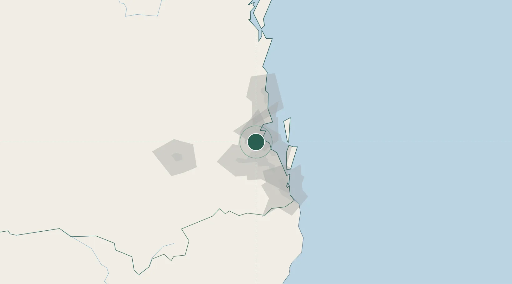
Albany Creek
-27.3500°, 152.9833°
15,532
Population
1
Transport functions
Transport Functions
Multimodal
Hub Profile
Place type
Urban district
Region
Queensland
Population
15,532
Time zone
Australia/Brisbane
Elevation
38 m
Location
Nearby Logistics Neighbours
Cities
- 1Arana Hills5 km
- 2Geebung5 km
- 3Stafford6 km
- 4Boondall7 km
- 5Toombul9 km
Airports
- 1Brisbane International Airport14 km
- 2RAAF Base Amberley42 km
- 3Sunshine Coast Airport85 km
- 4Gold Coast Airport104 km
- 5Toowoomba Wellcamp Airport120 km
Trade Zones
DatabookThe Record of Consolidated Knowledge
Australia beyond logistics?