UN/LOCODE hub · Australia
AUAHS
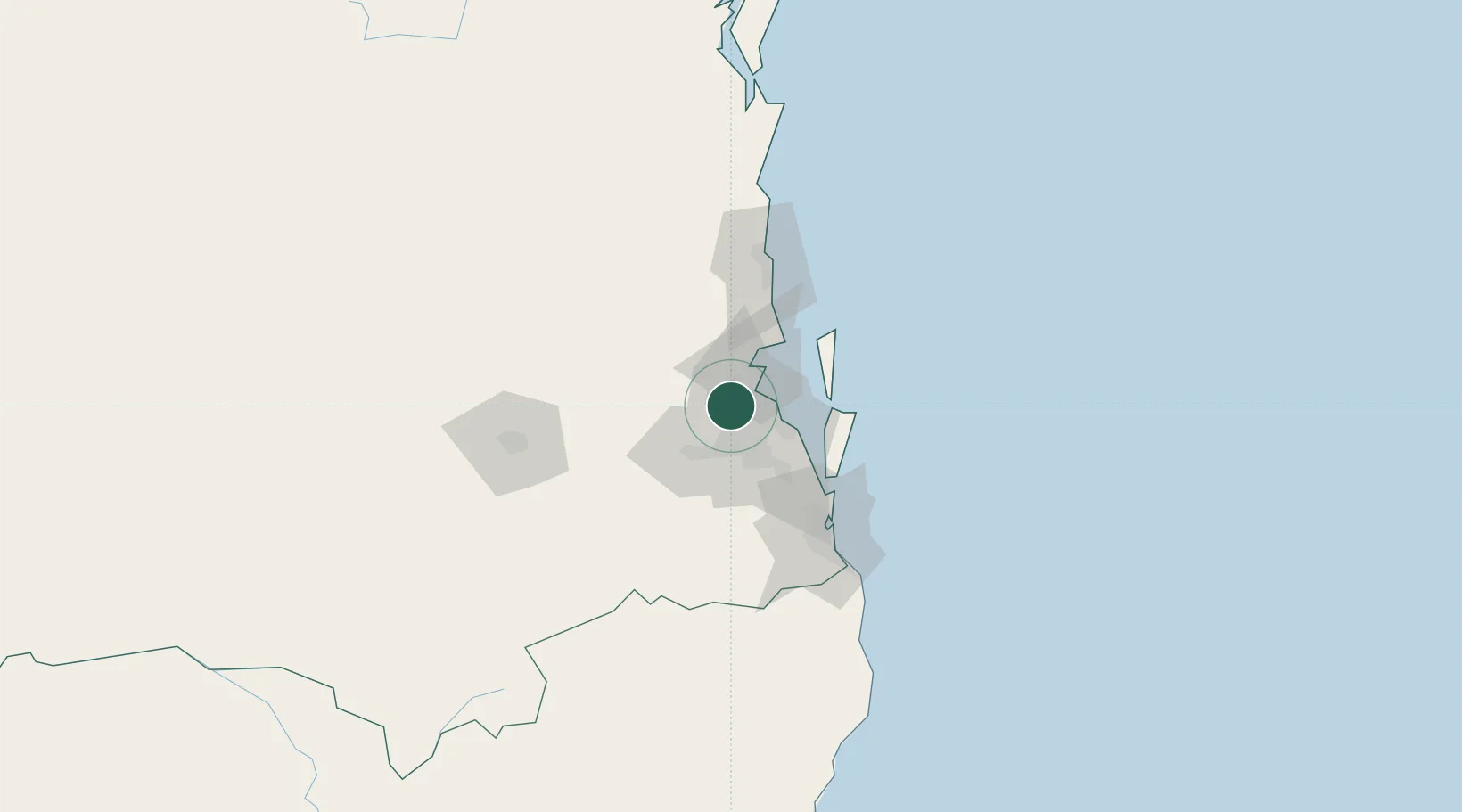
Arana Hills
-27.3833°, 152.9500°
6,672
Population
1
Transport functions
Transport Functions
Multimodal
Hub Profile
Place type
Urban district
Region
Queensland
Population
6,672
Time zone
Australia/Brisbane
Elevation
51 m
Location
Nearby Logistics Neighbours
Cities
- 1Albany Creek5 km
- 2Stafford5 km
- 3Geebung8 km
- 4Bowen Hills10 km
- 5Toombul10 km
Airports
- 1Brisbane International Airport17 km
- 2RAAF Base Amberley37 km
- 3Sunshine Coast Airport89 km
- 4Gold Coast Airport103 km
- 5Toowoomba Wellcamp Airport116 km
Trade Zones
DatabookThe Record of Consolidated Knowledge
Australia beyond logistics?