Transport Functions
Port
Multimodal
Hub Profile
Place type
Urban district
Region
Queensland
Population
9,181
Time zone
Australia/Brisbane
Elevation
22 m
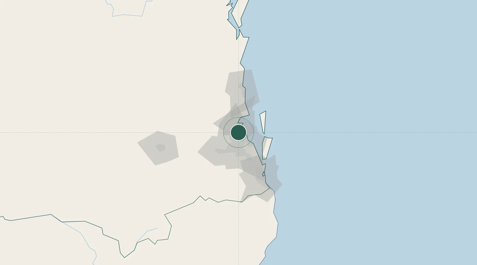
Location
Nearby Logistics Neighbours
Cities
- 1Geebung4 km
- 2Brisbane4 km
- 3Northgate6 km
- 4Albany Creek7 km
- 5Toombul7 km
Airports
- 1Brisbane International Airport9 km
- 2RAAF Base Amberley47 km
- 3Sunshine Coast Airport82 km
- 4Gold Coast Airport103 km
- 5Toowoomba Wellcamp Airport127 km
Trade Zones
DatabookThe Record of Consolidated Knowledge
Australia beyond logistics?