UN/LOCODE hub · Australia
AUTOL

Toombul

-27.4000°, 153.0500°
2
Transport functions

Transport Functions

Port
Multimodal
UN/LOCODE

Hub Profile

Place type
Populated place
GeoNames
Region
Queensland
GeoNames
Time zone
Australia/Brisbane
GeoNames
Elevation
8 m
GeoNames

Location

Location of AUTOL
Natural Earth 10m (public domain) · Queensland · AUTOL · -27.40, 153.05GoogleOSMYandex

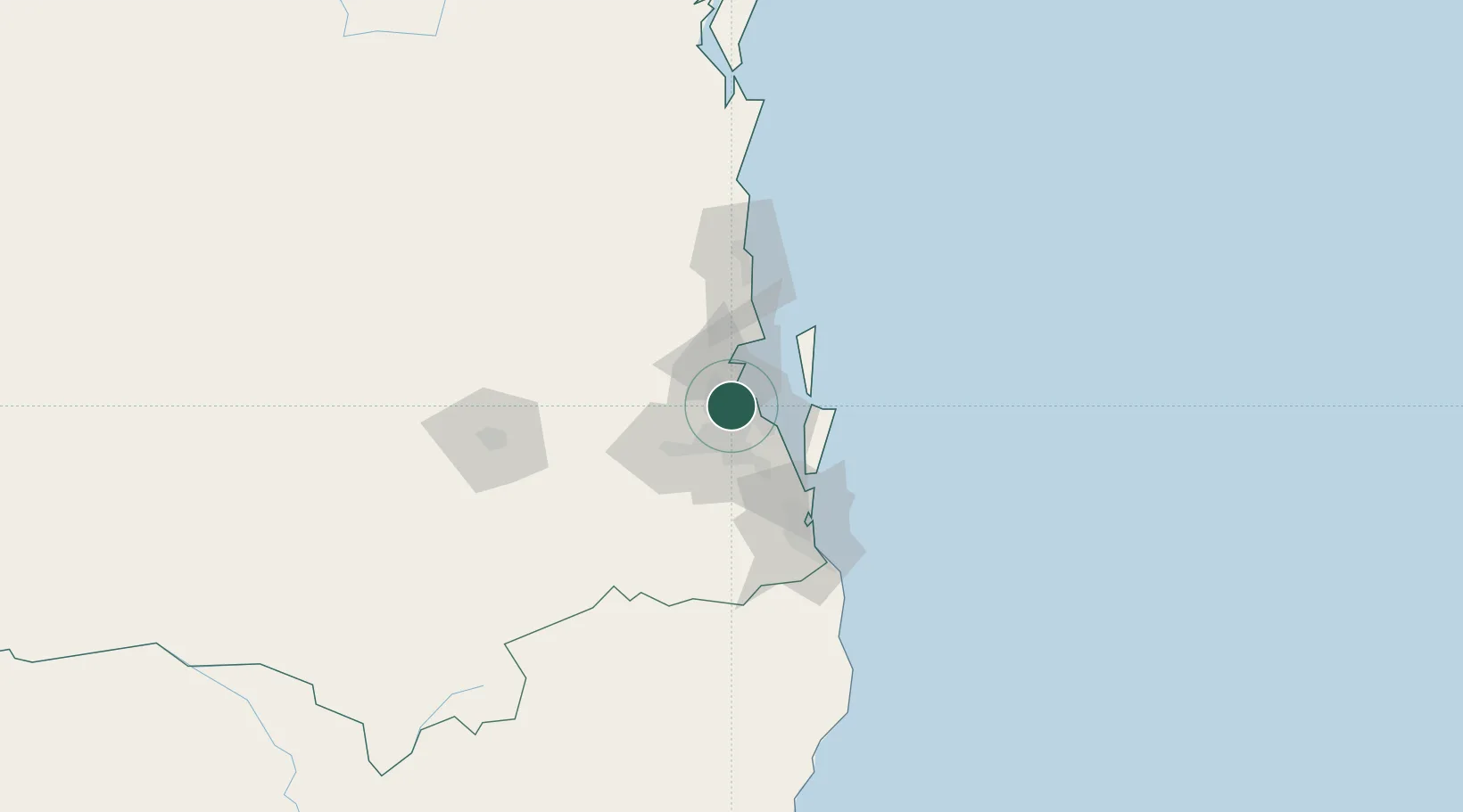
Nearby Logistics Neighbours

Cities
  1. 1Northgate3 km
  2. 2Bowen Hills4 km
  3. 3Geebung4 km
  4. 4Stafford5 km
  5. 5Brisbane6 km
Nearest neighbours — logibook spatial index (haversine) over the source coordinates
Ports
  1. 1Brisbane8 km
  2. 2Ballina171 km
  3. 3Bundaberg290 km
  4. 4Gladstone434 km
  5. 5Port Alma478 km
Nearest neighbours — logibook spatial index (haversine) over the source coordinates
Airports
  1. 1Brisbane International Airport7 km
  2. 2RAAF Base Amberley42 km
  3. 3Sunshine Coast Airport90 km
  4. 4Gold Coast Airport96 km
  5. 5Toowoomba Wellcamp Airport125 km
Nearest neighbours — logibook spatial index (haversine) over the source coordinates
Trade Zones
  1. 1Latrobe Valley Economic Growth Zone1355 km
  2. 2Vanuatu Economic Development Zone1967 km
  3. 3Paga Hill Estate Special Economic Zone2086 km
  4. 4Tulagi Island Special Economic Zone2167 km
  5. 5Ihu Special Economic Zone2314 km
Nearest neighbours — logibook spatial index (haversine) over the source coordinates
DatabookThe Record of Consolidated Knowledge
Australia beyond logistics?
Browse databook

All Sources

LocationsUN/LOCODE
UN/LOCODE — free
Portsthe NGA World Port Index
Public domain (US gov)
AirportsOurAirports
Public domain
Trade Zonesthe World Bank SEZ database
CC BY 4.0
Trade ZonesOpen Zone Map
CC BY
← Australia locations