Transport Functions
Rail
Road
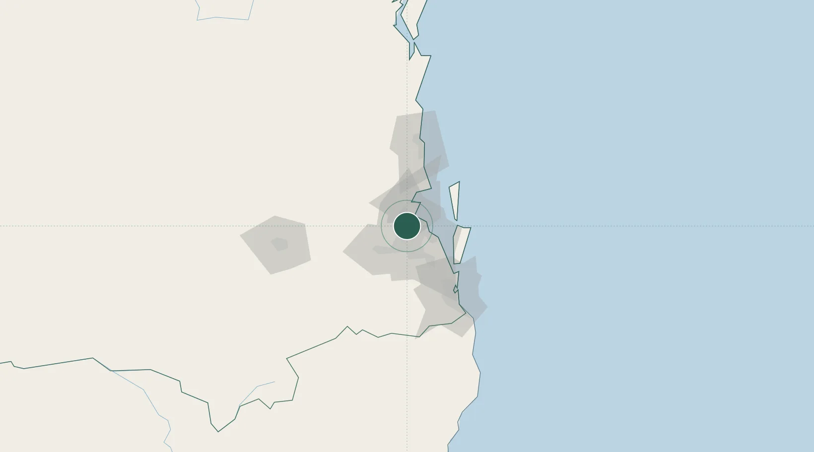
Hub Profile
Place type
Urban district
Region
Queensland
Population
6,423
Time zone
Australia/Brisbane
Elevation
24 m
Location
Nearby Logistics Neighbours
Cities
- 1Toombul5 km
- 2Bowen Hills5 km
- 3Geebung5 km
- 4Arana Hills5 km
- 5Albany Creek6 km
Airports
- 1Brisbane International Airport12 km
- 2RAAF Base Amberley39 km
- 3Sunshine Coast Airport90 km
- 4Gold Coast Airport99 km
- 5Toowoomba Wellcamp Airport120 km
Trade Zones
DatabookThe Record of Consolidated Knowledge
Australia beyond logistics?