Transport Functions
Multimodal
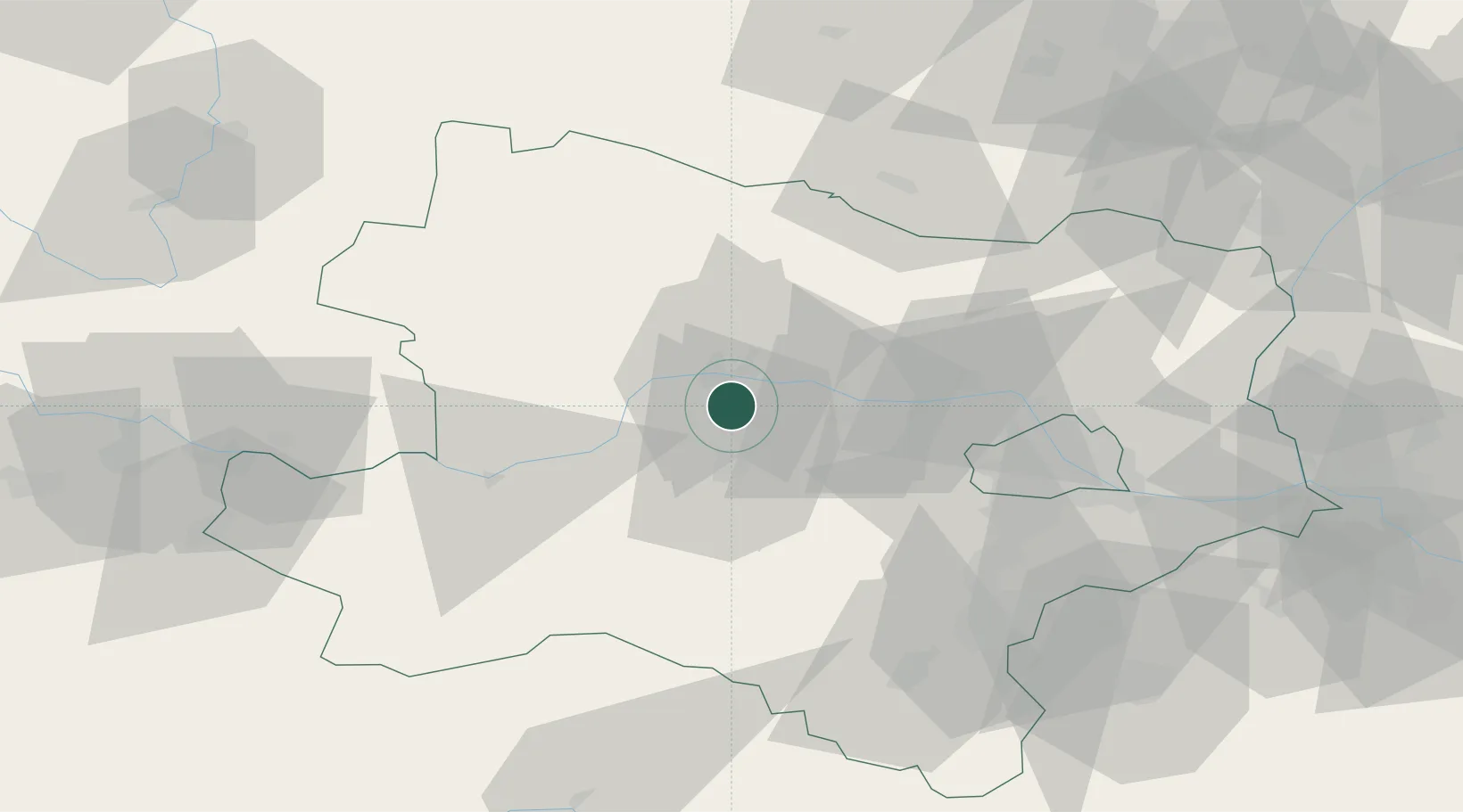
Hub Profile
Region
3
Location
Nearby Logistics Neighbours
Cities
- 1Inzersdorf an der Traisen4 km
- 2Reichersdorf4 km
- 3Theiss4 km
- 4Krems an der Donau6 km
- 5Traismauer6 km
Ports
- 1Monfalcone327 km
- 2Trieste333 km
- 3Muggia338 km
- 4Koper344 km
- 5Nogaro344 km
Airports
- 1Wiener Neustadt West Airport71 km
- 2Wiener Neustadt East Airport72 km
- 3Vienna International Airport73 km
- 4Náměšť Air Base97 km
- 5Malacky/Kuchyňa Air Base109 km
Trade Zones
DatabookThe Record of Consolidated Knowledge
Austria beyond logistics?