Transport Functions
Rail
Road
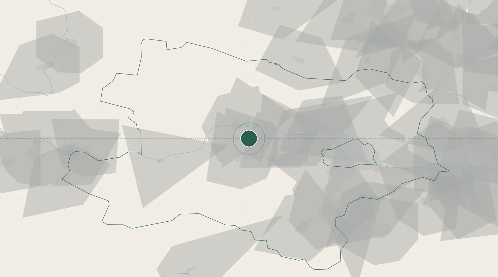
Hub Profile
Place type
Populated place
Region
Lower Austria
Population
532
Time zone
Europe/Vienna
Elevation
234 m
Location
Nearby Logistics Neighbours
Cities
- 1Traismauer3 km
- 2Inzersdorf an der Traisen3 km
- 3Hobenbach4 km
- 4Theiss6 km
- 5Krems an der Donau9 km
Ports
- 1Monfalcone327 km
- 2Trieste333 km
- 3Muggia338 km
- 4Koper344 km
- 5Nogaro345 km
Airports
- 1Wiener Neustadt West Airport67 km
- 2Wiener Neustadt East Airport69 km
- 3Vienna International Airport69 km
- 4Náměšť Air Base98 km
- 5Malacky/Kuchyňa Air Base105 km
Trade Zones
DatabookThe Record of Consolidated Knowledge
Austria beyond logistics?