Transport Functions
Port
Road
Hub Profile
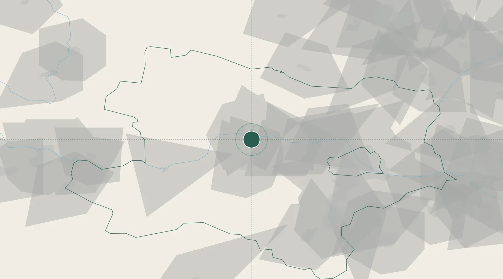
Place type
Populated place
Region
Lower Austria
Population
583
Time zone
Europe/Vienna
Elevation
191 m
Location
Nearby Logistics Neighbours
Cities
- 1Krems an der Donau4 km
- 2Hobenbach4 km
- 3Reichersdorf6 km
- 4Etsdorf am Kamp7 km
- 5Traismauer7 km
Ports
- 1Monfalcone331 km
- 2Trieste337 km
- 3Muggia342 km
- 4Koper348 km
- 5Nogaro349 km
Airports
- 1Vienna International Airport72 km
- 2Wiener Neustadt West Airport73 km
- 3Wiener Neustadt East Airport74 km
- 4Náměšť Air Base93 km
- 5Malacky/Kuchyňa Air Base106 km
Trade Zones
DatabookThe Record of Consolidated Knowledge
Austria beyond logistics?