Transport Functions
Port
Road
Hub Profile
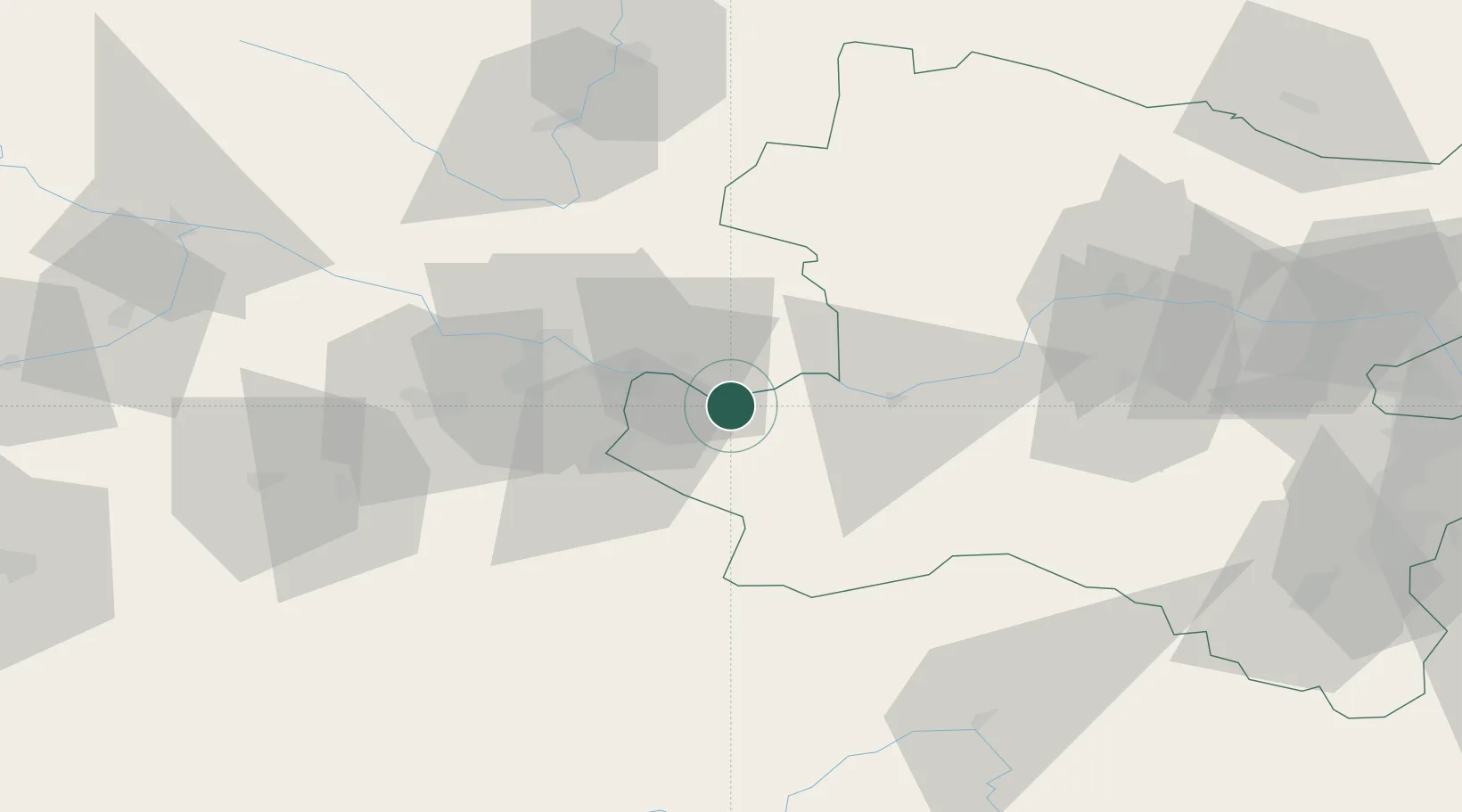
Place type
Populated place
Region
Lower Austria
Population
2,006
Time zone
Europe/Vienna
Elevation
276 m
Location
Nearby Logistics Neighbours
Cities
- 1Mitterkirchen2 km
- 2Baumgartenberg6 km
- 3Arbing6 km
- 4Oehling10 km
- 5Grein10 km
Ports
- 1Monfalcone279 km
- 2Trieste289 km
- 3Nogaro292 km
- 4Muggia294 km
- 5Grado295 km
Airports
Trade Zones
DatabookThe Record of Consolidated Knowledge
Austria beyond logistics?