UN/LOCODE hub · Austria
ATMKC

Mitterkirchen

48.1833°, 14.7000°
2
Transport functions

Transport Functions

Port
Road
UN/LOCODE

Hub Profile

Region
4
GeoNames

Location

Location of ATMKC
Natural Earth 10m (public domain) · 4 · ATMKC · 48.18, 14.70GoogleOSMYandex

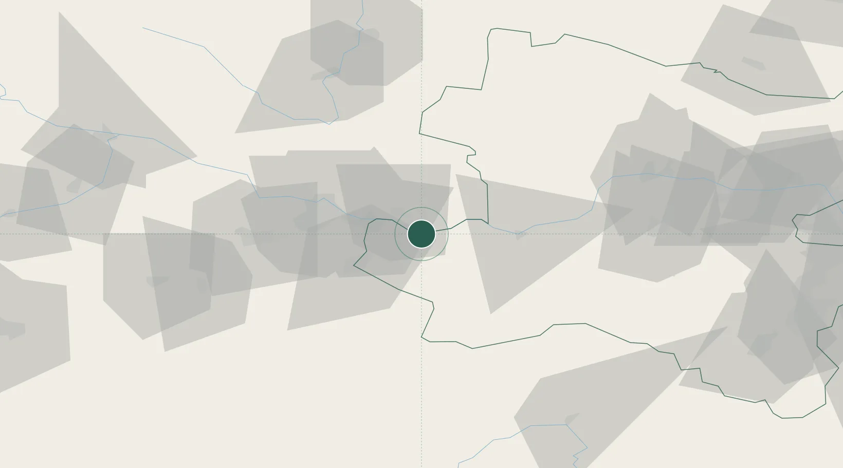
Nearby Logistics Neighbours

Cities
  1. 1Wallsee2 km
  2. 2Arbing4 km
  3. 3Baumgartenberg5 km
  4. 4Grein11 km
  5. 5Oehling12 km
Nearest neighbours — logibook spatial index (haversine) over the source coordinates
Ports
  1. 1Monfalcone281 km
  2. 2Trieste291 km
  3. 3Nogaro294 km
  4. 4Muggia296 km
  5. 5Grado296 km
Nearest neighbours — logibook spatial index (haversine) over the source coordinates
Airports
  1. 1Linz-Hörsching Airport38 km
  2. 2České Budějovice South Bohemian Airport87 km
  3. 3Hinterstoisser Air Base109 km
  4. 4Wiener Neustadt West Airport120 km
  5. 5Wiener Neustadt East Airport122 km
Nearest neighbours — logibook spatial index (haversine) over the source coordinates
Trade Zones
  1. 1Freeport of Deggendorf152 km
  2. 2Světlá nad Sázavou Municipal Industrial Zone173 km
  3. 3Černovická Terasa Industrial Zone182 km
  4. 4Industrial Zone Kutna Hora200 km
  5. 5Kolín - Ovčáry Industrial Zone213 km
Nearest neighbours — logibook spatial index (haversine) over the source coordinates
DatabookThe Record of Consolidated Knowledge
Austria beyond logistics?
Browse databook

All Sources

LocationsUN/LOCODE
UN/LOCODE — free
Portsthe NGA World Port Index
Public domain (US gov)
AirportsOurAirports
Public domain
Trade Zonesthe World Bank SEZ database
CC BY 4.0
Trade ZonesOpen Zone Map
CC BY
← Austria locations