Transport Functions
Multimodal
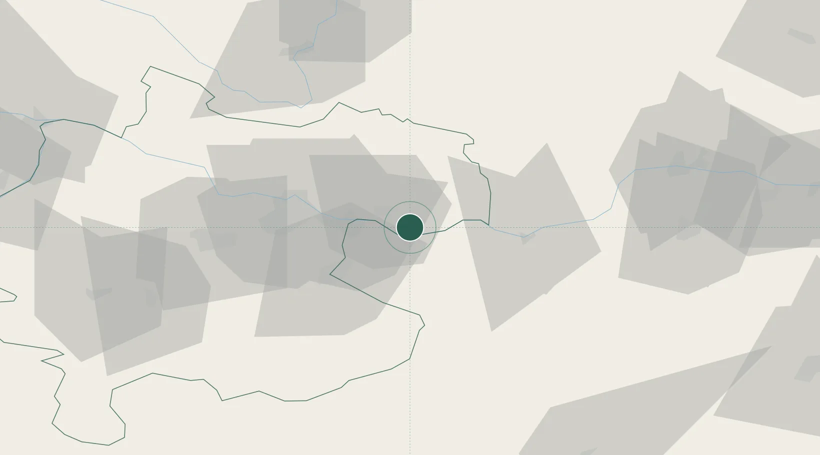
Hub Profile
Place type
Populated place
Region
Upper Austria
Population
746
Time zone
Europe/Vienna
Elevation
251 m
Location
Nearby Logistics Neighbours
Cities
- 1Baumgartenberg3 km
- 2Mitterkirchen4 km
- 3Wallsee6 km
- 4Grein10 km
- 5Haag15 km
Ports
- 1Monfalcone284 km
- 2Trieste294 km
- 3Nogaro297 km
- 4Muggia300 km
- 5Grado300 km
Airports
Trade Zones
DatabookThe Record of Consolidated Knowledge
Austria beyond logistics?