Transport Functions
Port
Rail
Road
Hub Profile
Place type
Populated place
Region
Upper Austria
Population
2,068
Time zone
Europe/Vienna
Elevation
236 m
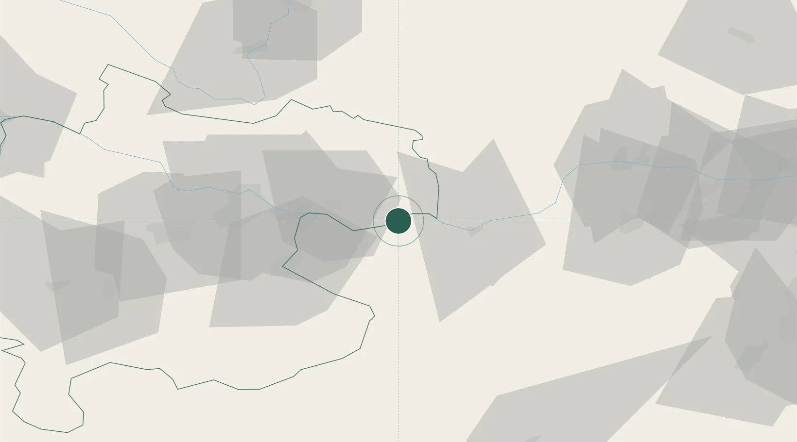
Location
Nearby Logistics Neighbours
Cities
- 1Sankt Nikola an der Donau5 km
- 2Baumgartenberg7 km
- 3Arbing10 km
- 4Wallsee10 km
- 5Mitterkirchen11 km
Ports
- 1Monfalcone288 km
- 2Trieste297 km
- 3Nogaro301 km
- 4Muggia302 km
- 5Grado303 km
Airports
Trade Zones
DatabookThe Record of Consolidated Knowledge
Austria beyond logistics?