Transport Functions
Port
Road
Hub Profile
Place type
Populated place
Region
Lower Austria
Population
1,200
Time zone
Europe/Vienna
Elevation
297 m
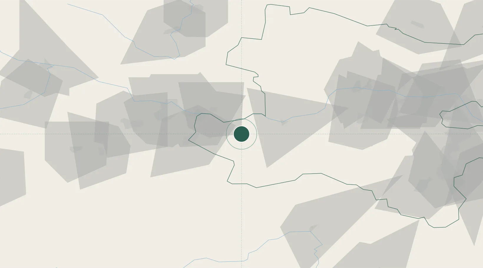
Location
Nearby Logistics Neighbours
Cities
- 1Aschbach Markt5 km
- 2Neuhofen an der Ybbs7 km
- 3Allhartsberg9 km
- 4Wallsee10 km
- 5Hilm10 km
Ports
- 1Monfalcone275 km
- 2Trieste284 km
- 3Nogaro288 km
- 4Muggia289 km
- 5Grado291 km
Airports
Trade Zones
DatabookThe Record of Consolidated Knowledge
Austria beyond logistics?