Transport Functions
Rail
Road
Multimodal
Hub Profile
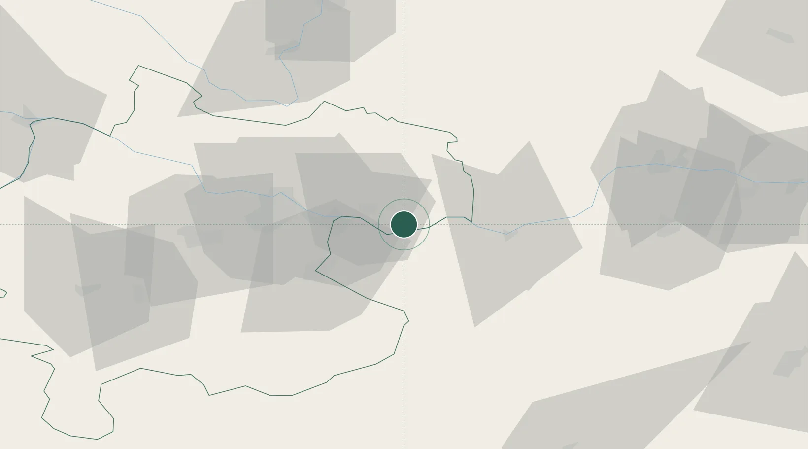
Place type
Populated place
Region
Upper Austria
Population
557
Time zone
Europe/Vienna
Elevation
240 m
Location
Nearby Logistics Neighbours
Cities
- 1Arbing3 km
- 2Mitterkirchen5 km
- 3Wallsee6 km
- 4Grein7 km
- 5Sankt Nikola an der Donau13 km
Ports
- 1Monfalcone285 km
- 2Trieste295 km
- 3Nogaro298 km
- 4Muggia300 km
- 5Grado301 km
Airports
Trade Zones
DatabookThe Record of Consolidated Knowledge
Austria beyond logistics?