Transport Functions
Rail
Road
Multimodal
Hub Profile
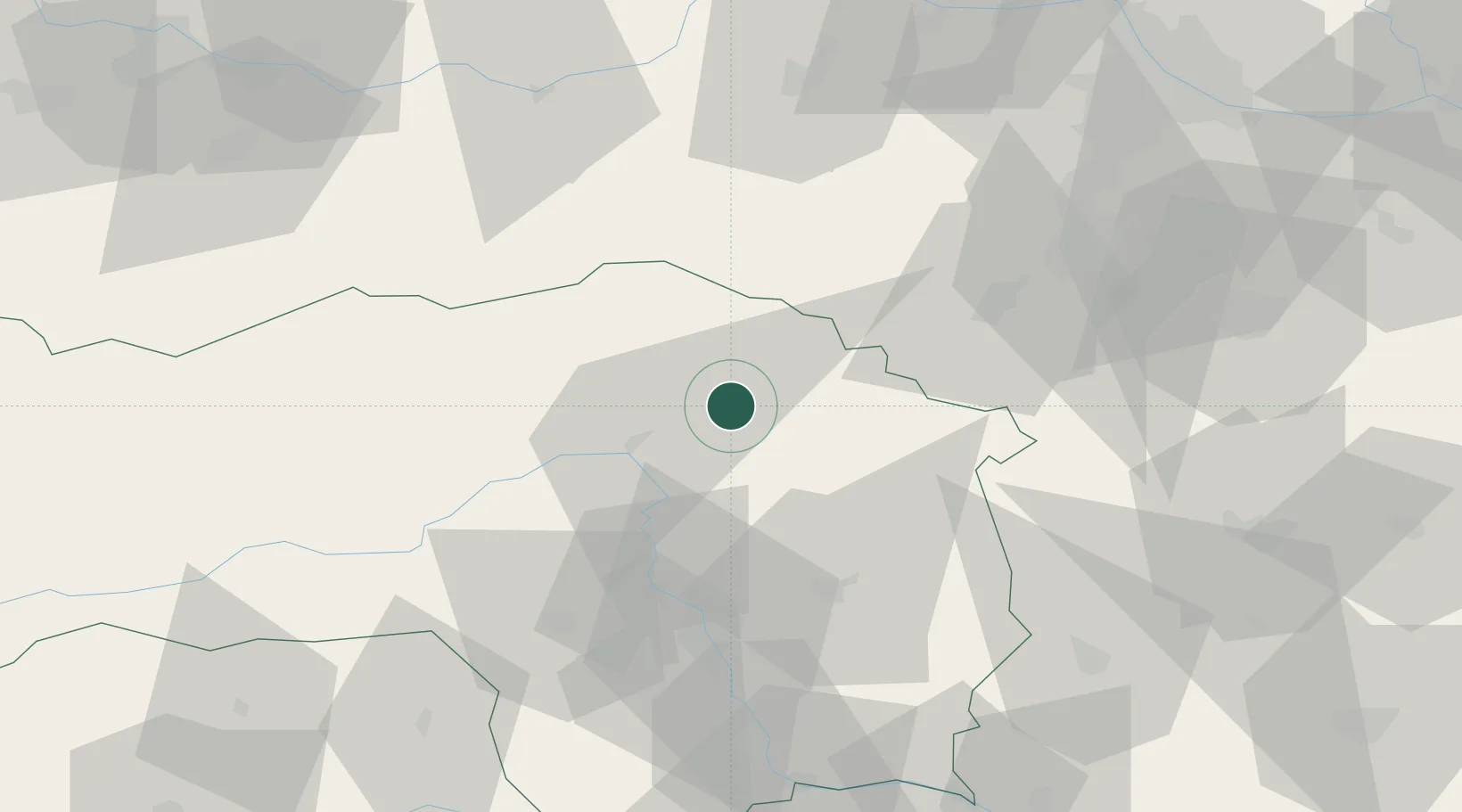
Place type
Populated place
Region
Styria
Population
1,958
Time zone
Europe/Vienna
Elevation
584 m
Location
Nearby Logistics Neighbours
Cities
- 1Krieglach4 km
- 2Kindberg4 km
- 3Veitsch6 km
- 4Langenwang10 km
- 5Sankt Marein im Mürztal12 km
Ports
- 1Monfalcone244 km
- 2Trieste247 km
- 3Muggia251 km
- 4Rijeka Luka256 km
- 5Koper257 km
Airports
- 1Graz Airport59 km
- 2Wiener Neustadt West Airport65 km
- 3Hinterstoisser Air Base67 km
- 4Wiener Neustadt East Airport68 km
- 5Vienna International Airport104 km
Trade Zones
- 1Sjever Free Zone151 km
- 2Krapina-Zagorje Free Zone155 km
- 3PJ Free Zone Zagreb193 km
- 4Černovická Terasa Industrial Zone204 km
- 5Veselí nad Moravou Industrial Zone212 km
DatabookThe Record of Consolidated Knowledge
Austria beyond logistics?