Transport Functions
Rail
Road
Hub Profile
Region
6
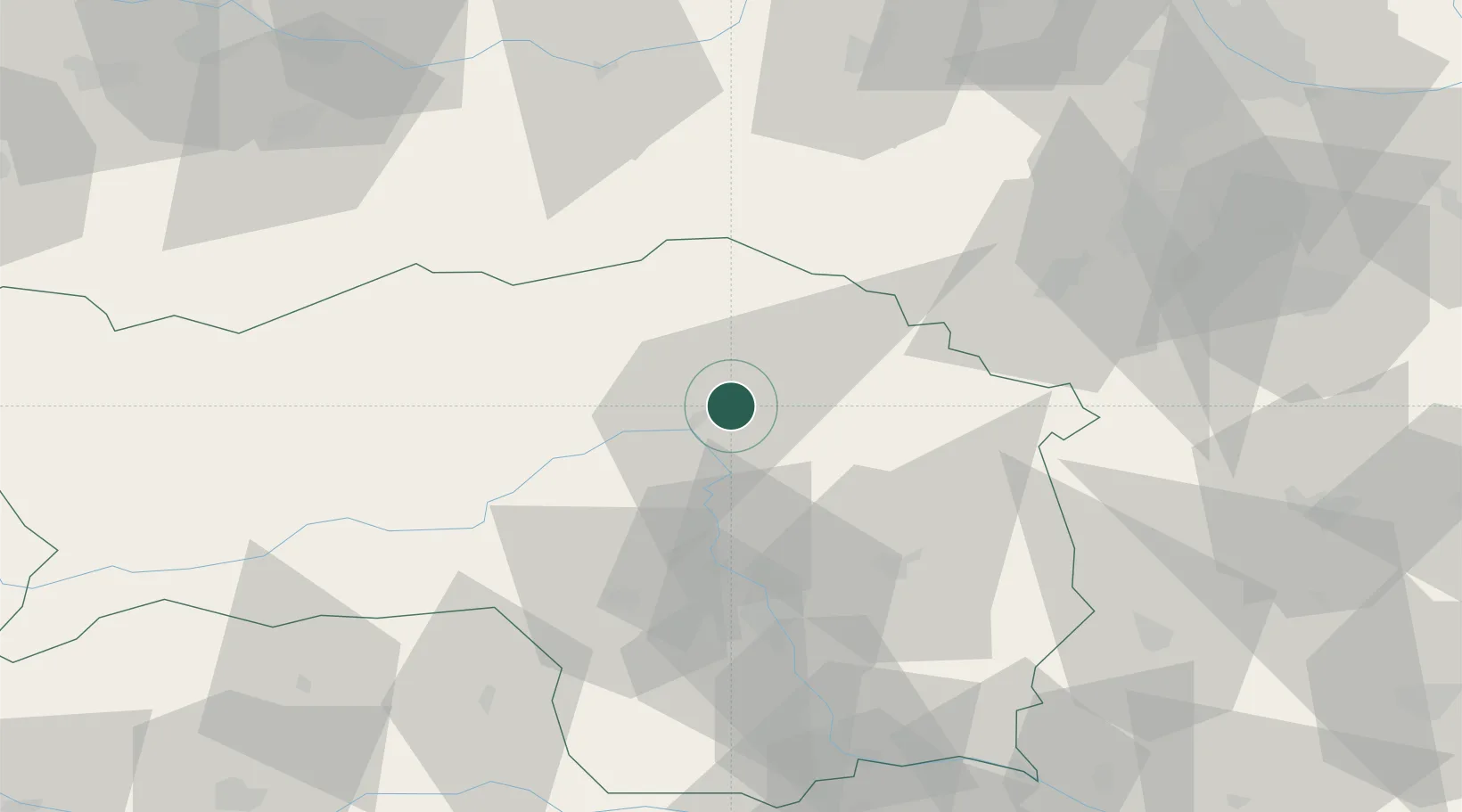
Location
Nearby Logistics Neighbours
Cities
- 1Kindberg7 km
- 2Breitenau am Hochlantsch11 km
- 3Wartberg12 km
- 4Pernegg an der Mur13 km
- 5Oberaich14 km
Ports
- 1Monfalcone233 km
- 2Trieste237 km
- 3Muggia241 km
- 4Koper247 km
- 5Rijeka Luka248 km
Airports
- 1Graz Airport53 km
- 2Hinterstoisser Air Base55 km
- 3Wiener Neustadt West Airport76 km
- 4Wiener Neustadt East Airport79 km
- 5Maribor Edvard Rusjan Airport112 km
Trade Zones
- 1Sjever Free Zone150 km
- 2Krapina-Zagorje Free Zone151 km
- 3PJ Free Zone Zagreb189 km
- 4Černovická Terasa Industrial Zone213 km
- 5Veselí nad Moravou Industrial Zone223 km
DatabookThe Record of Consolidated Knowledge
Austria beyond logistics?