Transport Functions
Rail
Road
Hub Profile
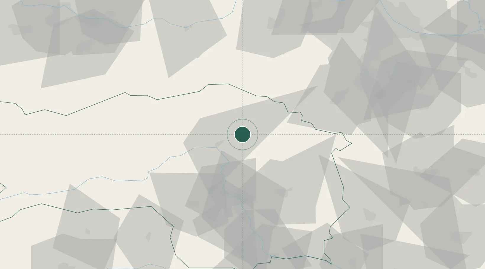
Place type
District seat
Region
Styria
Population
5,197
Time zone
Europe/Vienna
Elevation
584 m
Location
Nearby Logistics Neighbours
Cities
- 1Wartberg4 km
- 2Sankt Marein im Mürztal7 km
- 3Veitsch8 km
- 4Krieglach8 km
- 5Breitenau am Hochlantsch11 km
Ports
- 1Monfalcone240 km
- 2Trieste243 km
- 3Muggia247 km
- 4Rijeka Luka253 km
- 5Koper254 km
Airports
- 1Graz Airport57 km
- 2Hinterstoisser Air Base63 km
- 3Wiener Neustadt West Airport69 km
- 4Wiener Neustadt East Airport72 km
- 5Vienna International Airport108 km
Trade Zones
- 1Sjever Free Zone151 km
- 2Krapina-Zagorje Free Zone154 km
- 3PJ Free Zone Zagreb192 km
- 4Černovická Terasa Industrial Zone207 km
- 5Veselí nad Moravou Industrial Zone216 km
DatabookThe Record of Consolidated Knowledge
Austria beyond logistics?