Transport Functions
Rail
Road
Hub Profile
Place type
District seat
Region
Styria
Population
3,119
Time zone
Europe/Vienna
Elevation
630 m
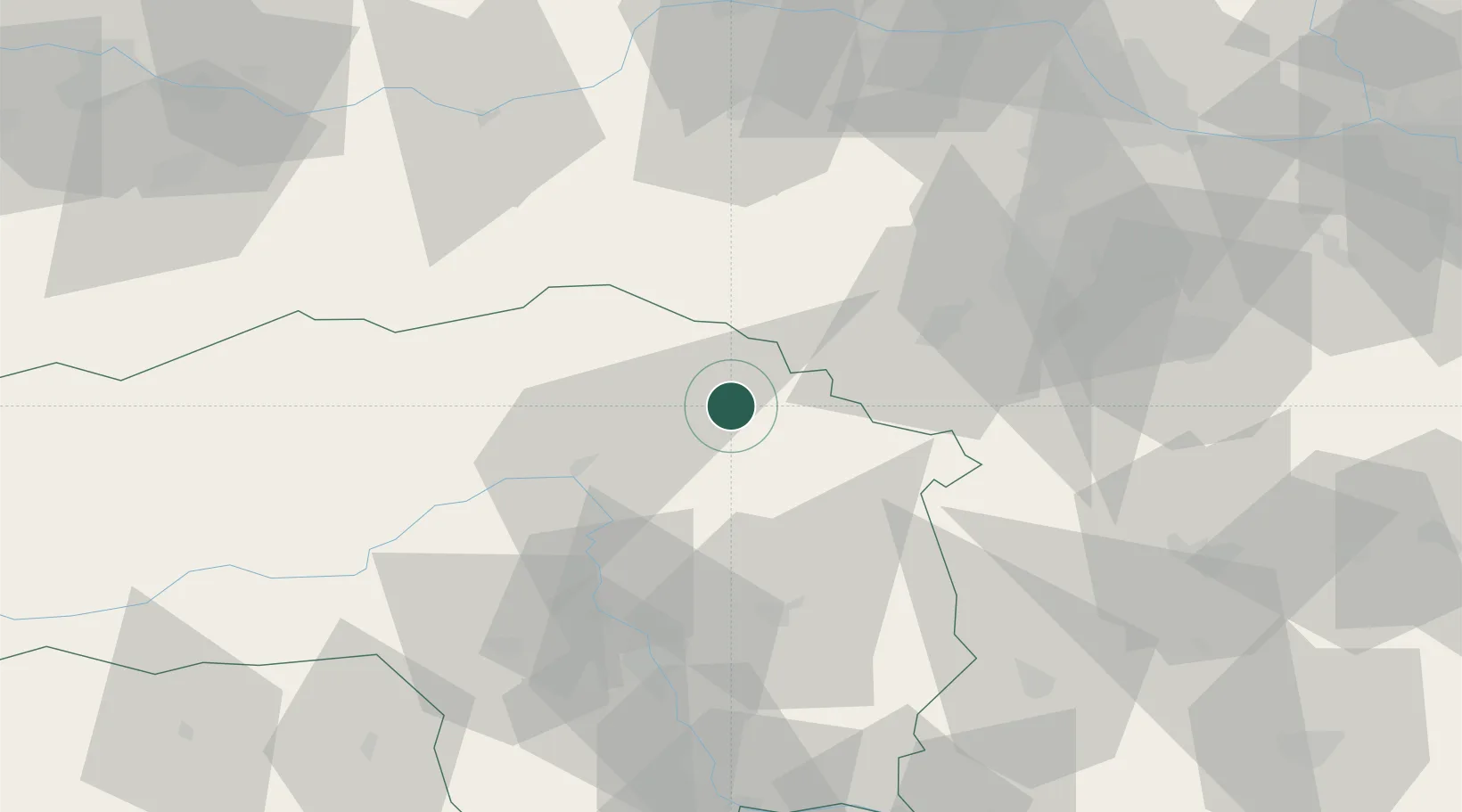
Location
Nearby Logistics Neighbours
Cities
- 1Hönigsberg4 km
- 2Mürzzuschlag5 km
- 3Krieglach6 km
- 4Veitsch10 km
- 5Wartberg10 km
Ports
- 1Monfalcone253 km
- 2Trieste257 km
- 3Muggia260 km
- 4Rijeka Luka264 km
- 5Bakar265 km
Airports
- 1Wiener Neustadt West Airport54 km
- 2Wiener Neustadt East Airport57 km
- 3Graz Airport65 km
- 4Hinterstoisser Air Base77 km
- 5Vienna International Airport93 km
Trade Zones
- 1Sjever Free Zone152 km
- 2Krapina-Zagorje Free Zone159 km
- 3Černovická Terasa Industrial Zone195 km
- 4PJ Free Zone Zagreb198 km
- 5Veselí nad Moravou Industrial Zone202 km
DatabookThe Record of Consolidated Knowledge
Austria beyond logistics?