Transport Functions
Multimodal
Hub Profile
Place type
District seat
Region
Styria
Population
360
Time zone
Europe/Vienna
Elevation
666 m
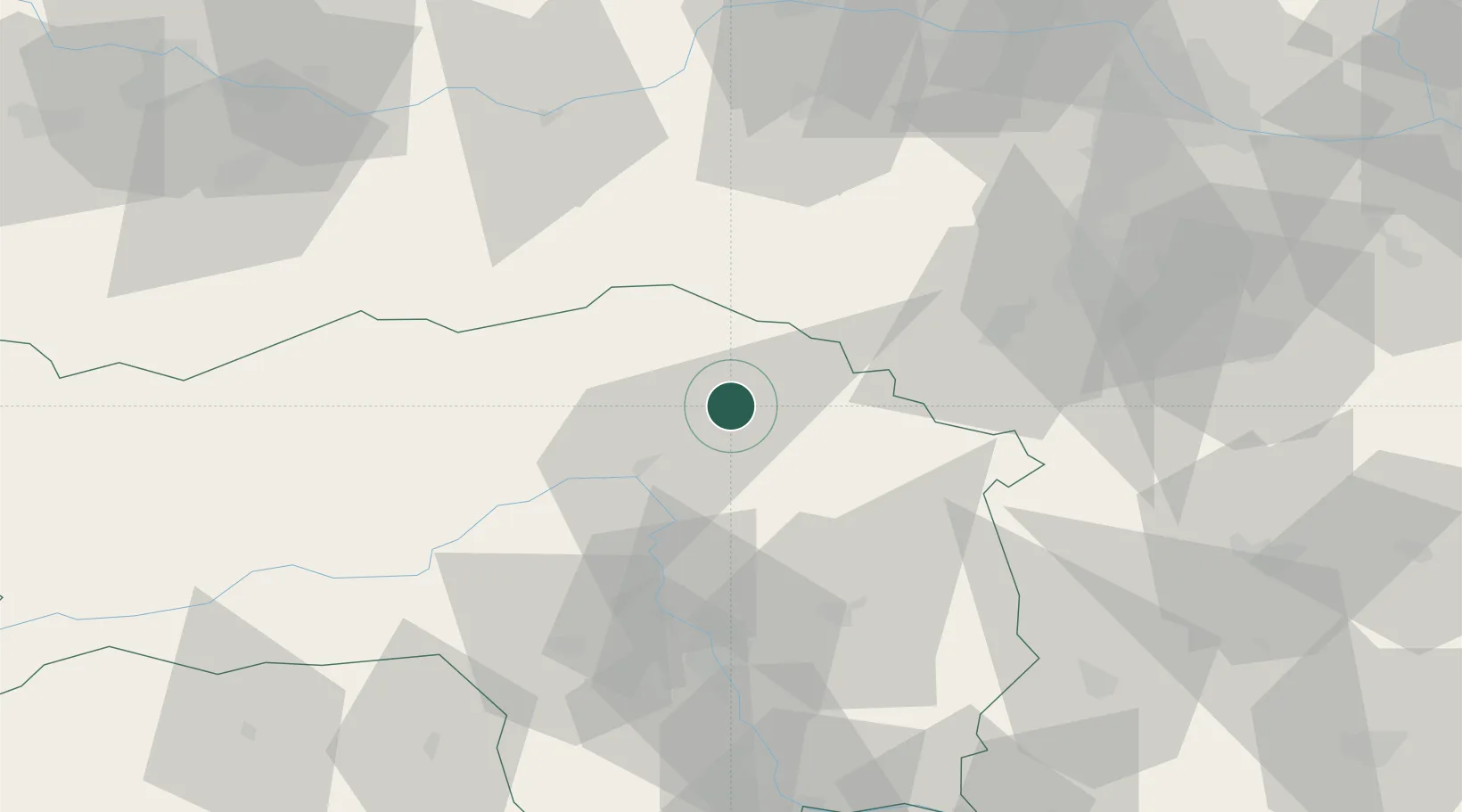
Location
Nearby Logistics Neighbours
Cities
- 1Wartberg6 km
- 2Krieglach6 km
- 3Kindberg8 km
- 4Langenwang10 km
- 5Hönigsberg12 km
Ports
- 1Monfalcone247 km
- 2Trieste251 km
- 3Muggia255 km
- 4Rijeka Luka261 km
- 5Koper261 km
Airports
- 1Wiener Neustadt West Airport63 km
- 2Graz Airport64 km
- 3Wiener Neustadt East Airport66 km
- 4Hinterstoisser Air Base69 km
- 5Vienna International Airport101 km
Trade Zones
- 1Sjever Free Zone156 km
- 2Krapina-Zagorje Free Zone160 km
- 3PJ Free Zone Zagreb199 km
- 4Černovická Terasa Industrial Zone199 km
- 5Veselí nad Moravou Industrial Zone209 km
DatabookThe Record of Consolidated Knowledge
Austria beyond logistics?