Transport Functions
Multimodal
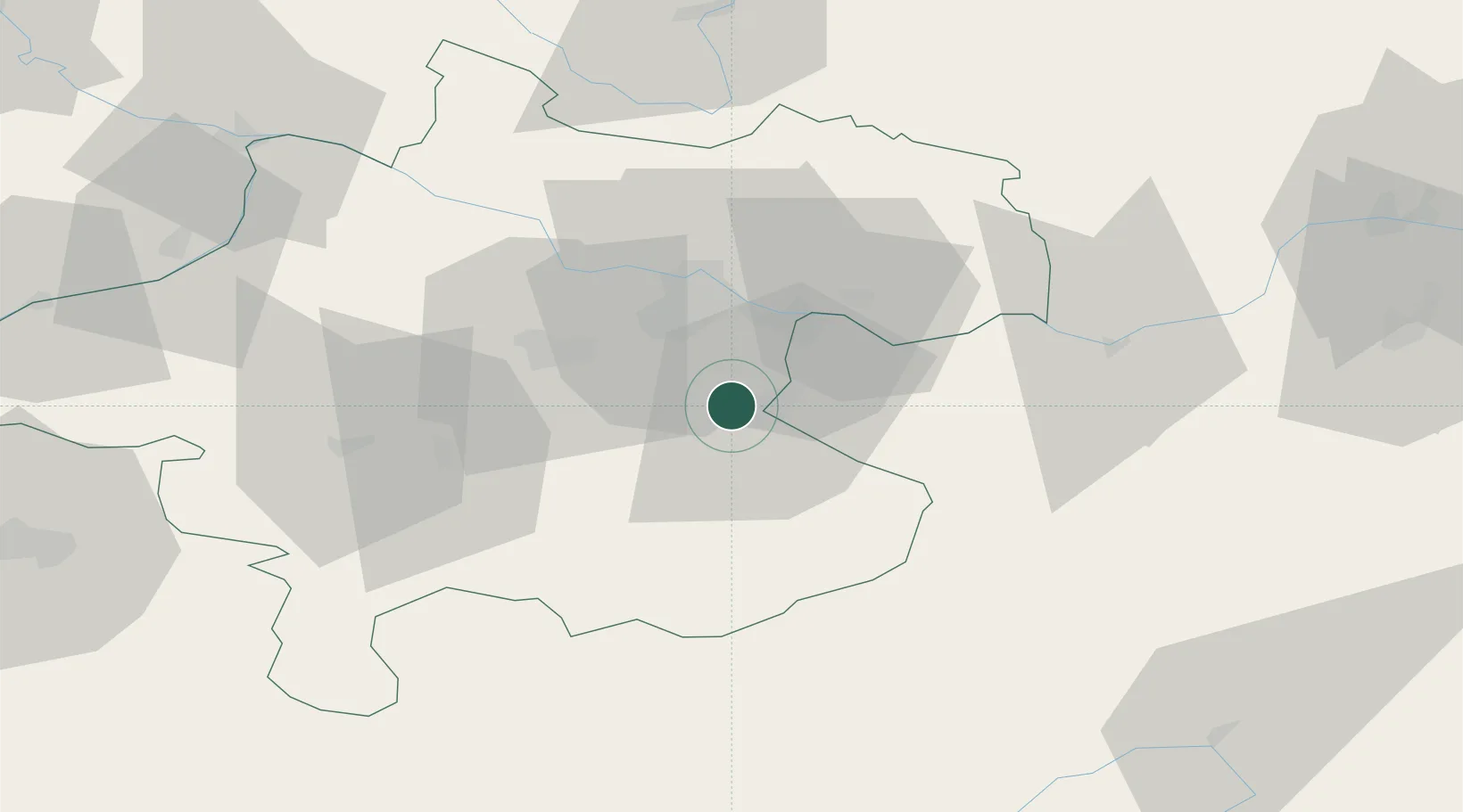
Hub Profile
Place type
District seat
Region
Upper Austria
Population
2,374
Time zone
Europe/Vienna
Elevation
361 m
Location
Nearby Logistics Neighbours
Cities
- 1Sierninghofen3 km
- 2Haidershofen6 km
- 3Aschach an der Steyr8 km
- 4Ternberg15 km
- 5Haag16 km
Ports
- 1Monfalcone261 km
- 2Nogaro272 km
- 3Trieste273 km
- 4Grado276 km
- 5Muggia278 km
Airports
- 1Linz-Hörsching Airport23 km
- 2České Budějovice South Bohemian Airport98 km
- 3Hinterstoisser Air Base100 km
- 4Salzburg Airport106 km
- 5Wiener Neustadt West Airport141 km
Trade Zones
DatabookThe Record of Consolidated Knowledge
Austria beyond logistics?