UN/LOCODE hub · Austria
ATSII

Sierninghofen

48.0500°, 14.3333°
2
Transport functions

Transport Functions

Rail
Road
UN/LOCODE

Hub Profile

Region
4
GeoNames

Location

Location of ATSII
Natural Earth 10m (public domain) · 4 · ATSII · 48.05, 14.33GoogleOSMYandex

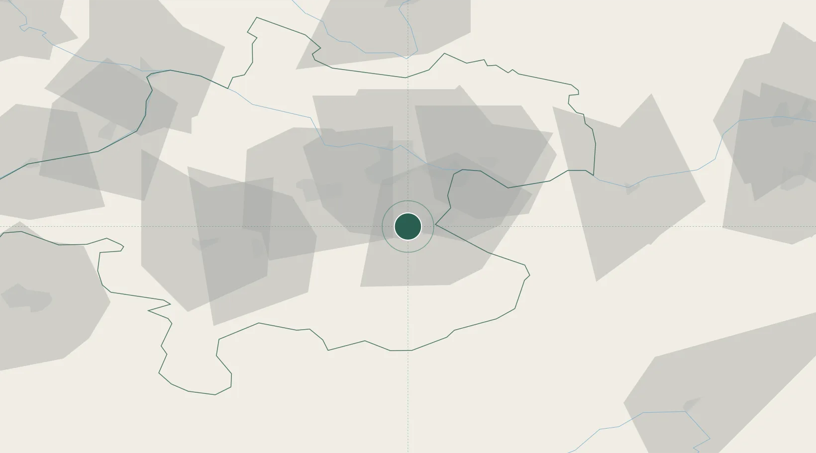
Nearby Logistics Neighbours

Cities
  1. 1Wolfern3 km
  2. 2Aschach an der Steyr6 km
  3. 3Haidershofen9 km
  4. 4Ternberg13 km
  5. 5Regau15 km
Nearest neighbours — logibook spatial index (haversine) over the source coordinates
Ports
  1. 1Monfalcone259 km
  2. 2Nogaro270 km
  3. 3Trieste271 km
  4. 4Grado273 km
  5. 5Muggia276 km
Nearest neighbours — logibook spatial index (haversine) over the source coordinates
Airports
  1. 1Linz-Hörsching Airport23 km
  2. 2Hinterstoisser Air Base99 km
  3. 3České Budějovice South Bohemian Airport100 km
  4. 4Salzburg Airport103 km
  5. 5Wiener Neustadt West Airport143 km
Nearest neighbours — logibook spatial index (haversine) over the source coordinates
Trade Zones
  1. 1Freeport of Deggendorf138 km
  2. 2Světlá nad Sázavou Municipal Industrial Zone197 km
  3. 3Černovická Terasa Industrial Zone213 km
  4. 4Industrial Zone Kutna Hora221 km
  5. 5Kolín - Ovčáry Industrial Zone234 km
Nearest neighbours — logibook spatial index (haversine) over the source coordinates
DatabookThe Record of Consolidated Knowledge
Austria beyond logistics?
Browse databook

All Sources

LocationsUN/LOCODE
UN/LOCODE — free
Portsthe NGA World Port Index
Public domain (US gov)
AirportsOurAirports
Public domain
Trade Zonesthe World Bank SEZ database
CC BY 4.0
Trade ZonesOpen Zone Map
CC BY
← Austria locations