Transport Functions
Rail
Road
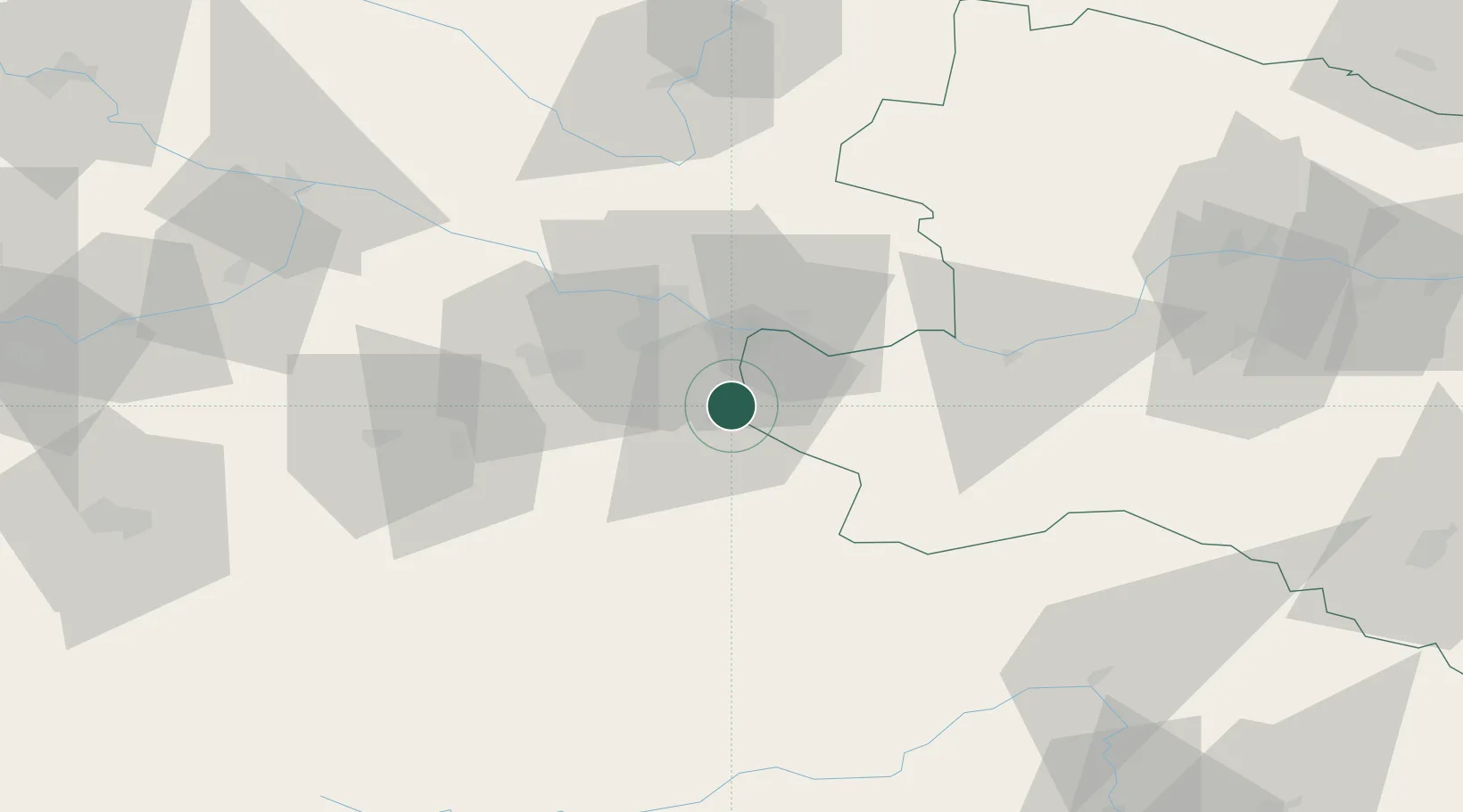
Hub Profile
Place type
District seat
Region
Lower Austria
Population
3,670
Time zone
Europe/Vienna
Elevation
291 m
Location
Nearby Logistics Neighbours
Cities
- 1Wolfern6 km
- 2Sierninghofen9 km
- 3Haag10 km
- 4Aschach an der Steyr11 km
- 5Seitenstetten Markt14 km
Ports
- 1Monfalcone263 km
- 2Trieste274 km
- 3Nogaro275 km
- 4Grado278 km
- 5Muggia279 km
Airports
- 1Linz-Hörsching Airport27 km
- 2České Budějovice South Bohemian Airport98 km
- 3Hinterstoisser Air Base99 km
- 4Salzburg Airport112 km
- 5Wiener Neustadt West Airport134 km
Trade Zones
DatabookThe Record of Consolidated Knowledge
Austria beyond logistics?