UN/LOCODE hub · Austria
ATADS

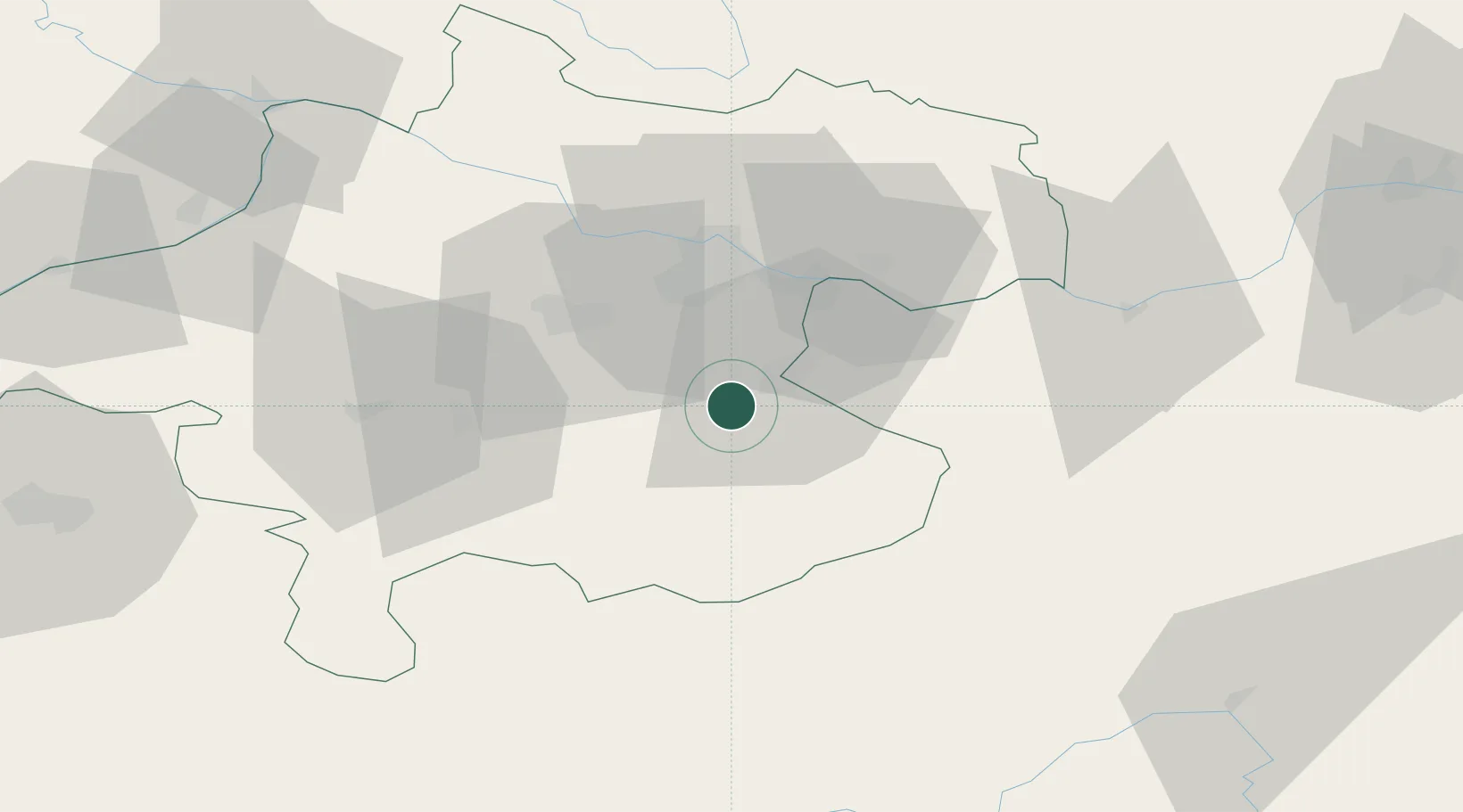
Aschach an der Steyr

48.0000°, 14.3333°
1,678
Population
1
Transport functions

Transport Functions

Multimodal
UN/LOCODE

Hub Profile

Place type
Populated place
GeoNames
Region
Upper Austria
GeoNames
Population
1,678
GeoNames
Time zone
Europe/Vienna
GeoNames
Elevation
426 m
GeoNames

Location

Location of ATADS
Natural Earth 10m (public domain) · Upper Austria · ATADS · 48.00, 14.33GoogleOSMYandex

Nearby Logistics Neighbours

Cities
  1. 1Sierninghofen6 km
  2. 2Wolfern8 km
  3. 3Ternberg8 km
  4. 4Haidershofen11 km
  5. 5Nussbach13 km
Nearest neighbours — logibook spatial index (haversine) over the source coordinates
Ports
  1. 1Monfalcone254 km
  2. 2Nogaro265 km
  3. 3Trieste265 km
  4. 4Grado268 km
  5. 5Muggia270 km
Nearest neighbours — logibook spatial index (haversine) over the source coordinates
Airports
  1. 1Linz-Hörsching Airport28 km
  2. 2Hinterstoisser Air Base94 km
  3. 3Salzburg Airport102 km
  4. 4České Budějovice South Bohemian Airport106 km
  5. 5Graz Airport140 km
Nearest neighbours — logibook spatial index (haversine) over the source coordinates
Trade Zones
  1. 1Freeport of Deggendorf142 km
  2. 2Světlá nad Sázavou Municipal Industrial Zone202 km
  3. 3Černovická Terasa Industrial Zone216 km
  4. 4Industrial Zone Kutna Hora226 km
  5. 5Krapina-Zagorje Free Zone237 km
Nearest neighbours — logibook spatial index (haversine) over the source coordinates
DatabookThe Record of Consolidated Knowledge
Austria beyond logistics?
Browse databook

All Sources

LocationsUN/LOCODE
UN/LOCODE — free
LocationsGeoNames
CC BY 4.0
Portsthe NGA World Port Index
Public domain (US gov)
AirportsOurAirports
Public domain
Trade Zonesthe World Bank SEZ database
CC BY 4.0
Trade ZonesOpen Zone Map
CC BY
← Austria locations