Transport Functions
Rail
Road
Hub Profile
Place type
District seat
Region
Lower Austria
Population
2,777
Time zone
Europe/Vienna
Elevation
323 m
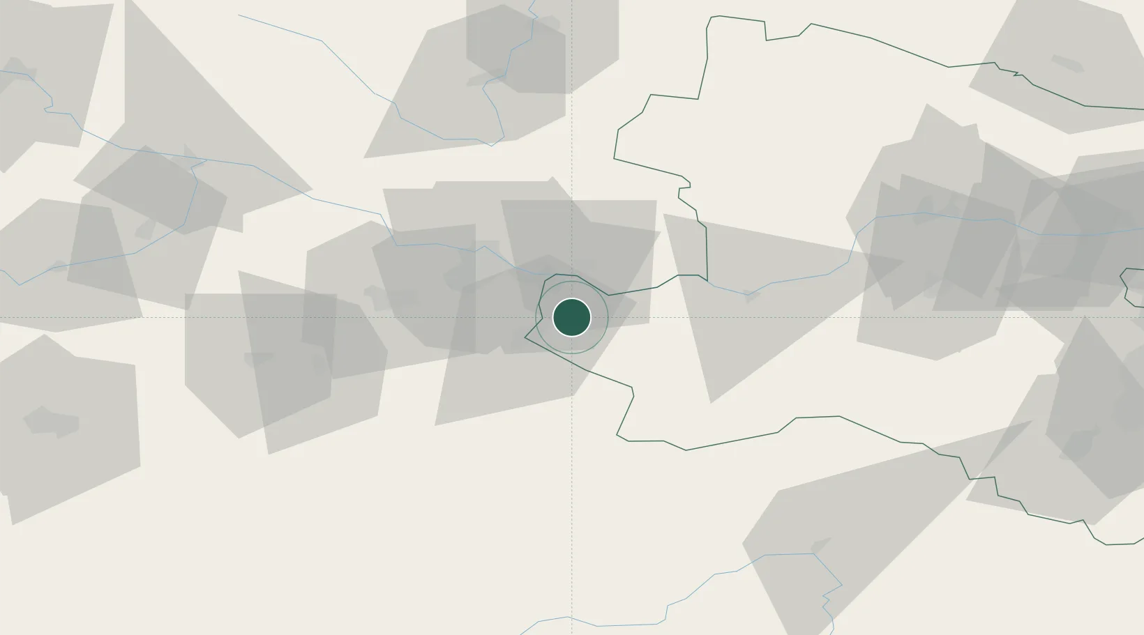
Location
Nearby Logistics Neighbours
Cities
- 1Haidershofen10 km
- 2Seitenstetten Markt11 km
- 3Mitterkirchen12 km
- 4Wallsee12 km
- 5Aschbach Markt15 km
Ports
- 1Monfalcone271 km
- 2Trieste281 km
- 3Nogaro283 km
- 4Grado286 km
- 5Muggia286 km
Airports
- 1Linz-Hörsching Airport31 km
- 2České Budějovice South Bohemian Airport93 km
- 3Hinterstoisser Air Base103 km
- 4Salzburg Airport122 km
- 5Wiener Neustadt West Airport127 km
Trade Zones
DatabookThe Record of Consolidated Knowledge
Austria beyond logistics?