Transport Functions
Rail
Road
Hub Profile
Place type
District seat
Region
Upper Austria
Population
3,367
Time zone
Europe/Vienna
Elevation
342 m
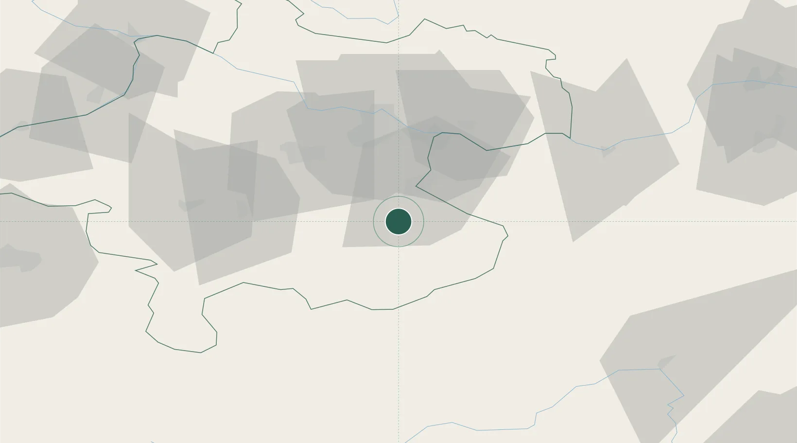
Location
Nearby Logistics Neighbours
Cities
- 1Aschach an der Steyr8 km
- 2Reichraming8 km
- 3Sierninghofen13 km
- 4Wolfern15 km
- 5Nussbach15 km
Ports
- 1Monfalcone247 km
- 2Trieste258 km
- 3Nogaro258 km
- 4Grado262 km
- 5Muggia263 km
Airports
- 1Linz-Hörsching Airport36 km
- 2Hinterstoisser Air Base86 km
- 3Salzburg Airport103 km
- 4České Budějovice South Bohemian Airport113 km
- 5Graz Airport132 km
Trade Zones
DatabookThe Record of Consolidated Knowledge
Austria beyond logistics?