UN/LOCODE hub · Austria
ATHOG

Hönigsberg

47.6000°, 15.6333°
2
Transport functions

Transport Functions

Rail
Road
UN/LOCODE

Hub Profile

Region
6
GeoNames

Location

Location of ATHOG
Natural Earth 10m (public domain) · 6 · ATHOG · 47.60, 15.63GoogleOSMYandex

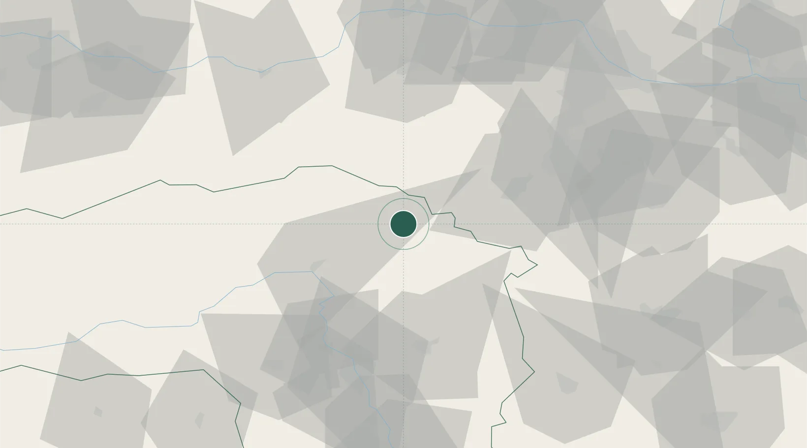
Nearby Logistics Neighbours

Cities
  1. 1Mürzzuschlag3 km
  2. 2Langenwang4 km
  3. 3Krieglach10 km
  4. 4Veitsch12 km
  5. 5Wartberg14 km
Nearest neighbours — logibook spatial index (haversine) over the source coordinates
Ports
  1. 1Monfalcone257 km
  2. 2Trieste260 km
  3. 3Muggia264 km
  4. 4Rijeka Luka268 km
  5. 5Bakar269 km
Nearest neighbours — logibook spatial index (haversine) over the source coordinates
Airports
  1. 1Wiener Neustadt West Airport51 km
  2. 2Wiener Neustadt East Airport54 km
  3. 3Graz Airport69 km
  4. 4Hinterstoisser Air Base80 km
  5. 5Vienna International Airport90 km
Nearest neighbours — logibook spatial index (haversine) over the source coordinates
Trade Zones
  1. 1Sjever Free Zone155 km
  2. 2Krapina-Zagorje Free Zone162 km
  3. 3Černovická Terasa Industrial Zone191 km
  4. 4Veselí nad Moravou Industrial Zone198 km
  5. 5PJ Free Zone Zagreb201 km
Nearest neighbours — logibook spatial index (haversine) over the source coordinates
DatabookThe Record of Consolidated Knowledge
Austria beyond logistics?
Browse databook

All Sources

LocationsUN/LOCODE
UN/LOCODE — free
Portsthe NGA World Port Index
Public domain (US gov)
AirportsOurAirports
Public domain
Trade Zonesthe World Bank SEZ database
CC BY 4.0
Trade ZonesOpen Zone Map
CC BY
← Austria locations