Transport Functions
Rail
Road
Airport
Postal
Hub Profile
Region
9
Logistics facilities
7
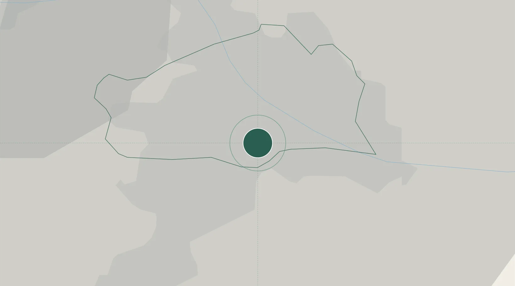
Location
Nearby Logistics Neighbours
Cities
- 1Freudenau2 km
- 2Schwechat6 km
- 3Maria Lanzendorf8 km
- 4Hennersdorf8 km
- 5Himberg10 km
Ports
- 1Monfalcone343 km
- 2Trieste345 km
- 3Muggia349 km
- 4Rijeka Luka349 km
- 5Bakar350 km
Airports
Trade Zones
DatabookThe Record of Consolidated Knowledge
Austria beyond logistics?