UN/LOCODE hub · Austria
ATZEN
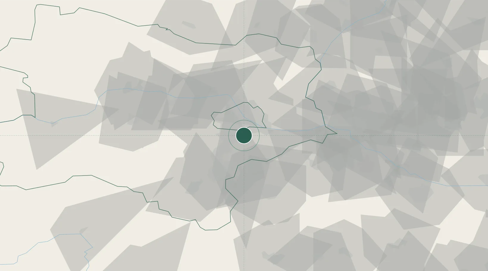
Maria Lanzendorf
48.1000°, 16.4167°
2,129
Population
2
Transport functions
Transport Functions
Rail
Road
Hub Profile
Place type
Populated place
Region
Lower Austria
Population
2,129
Time zone
Europe/Vienna
Elevation
169 m
Location
Nearby Logistics Neighbours
Cities
- 1Himberg2 km
- 2Hennersdorf4 km
- 3Schwechat5 km
- 4Biedermannsdorf5 km
- 5Vosendorf Sud7 km
Ports
- 1Monfalcone337 km
- 2Trieste340 km
- 3Rijeka Luka343 km
- 4Bakar343 km
- 5Muggia343 km
Airports
Trade Zones
DatabookThe Record of Consolidated Knowledge
Austria beyond logistics?