Transport Functions
Multimodal
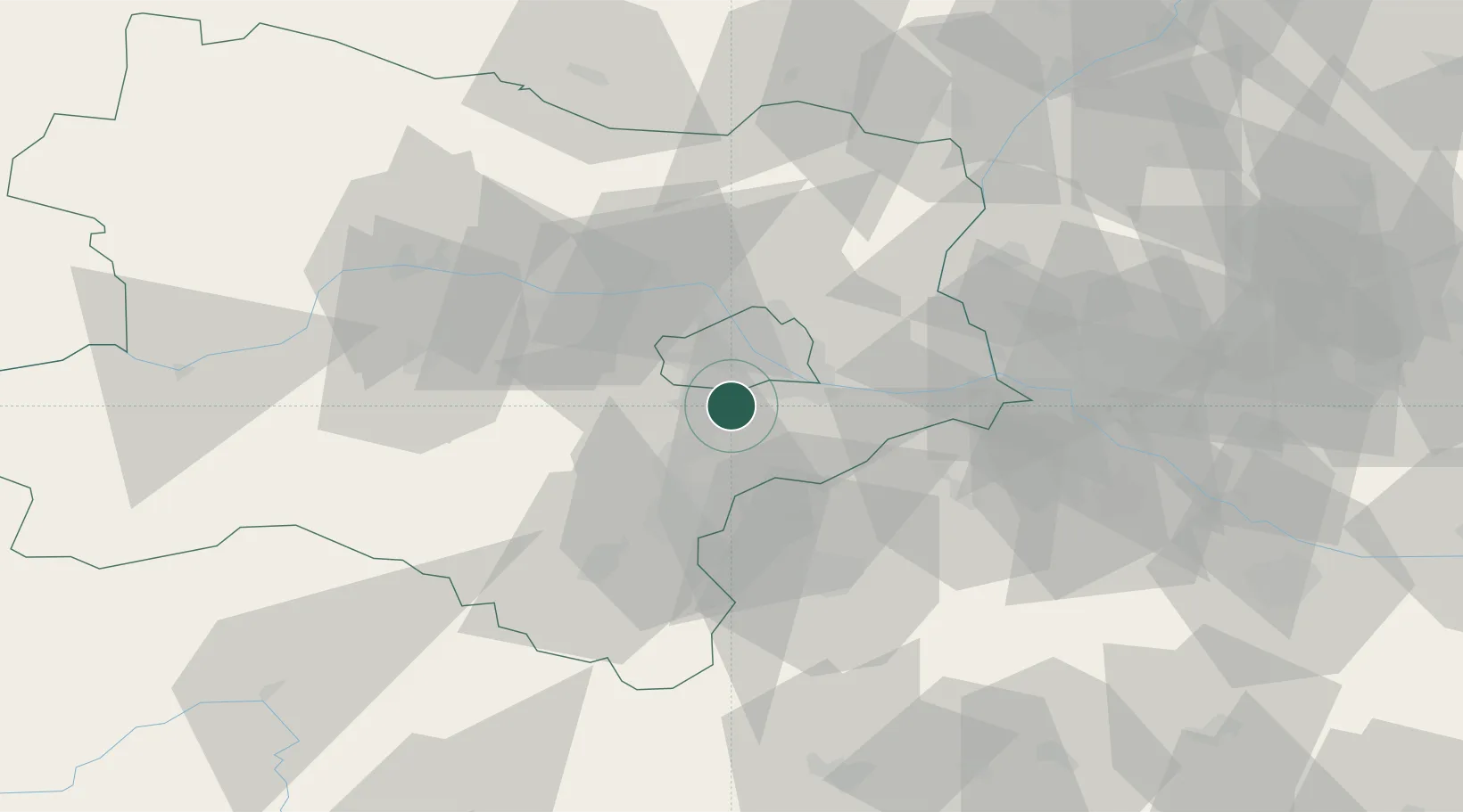
Hub Profile
Place type
District seat
Region
Lower Austria
Population
1,541
Time zone
Europe/Vienna
Elevation
181 m
Location
Nearby Logistics Neighbours
Cities
- 1Biedermannsdorf2 km
- 2Vosendorf Sud4 km
- 3Maria Lanzendorf4 km
- 4Brunn am Gebirge5 km
- 5Himberg5 km
Ports
- 1Monfalcone335 km
- 2Trieste337 km
- 3Muggia341 km
- 4Rijeka Luka341 km
- 5Bakar341 km
Airports
Trade Zones
DatabookThe Record of Consolidated Knowledge
Austria beyond logistics?