Transport Functions
Rail
Road
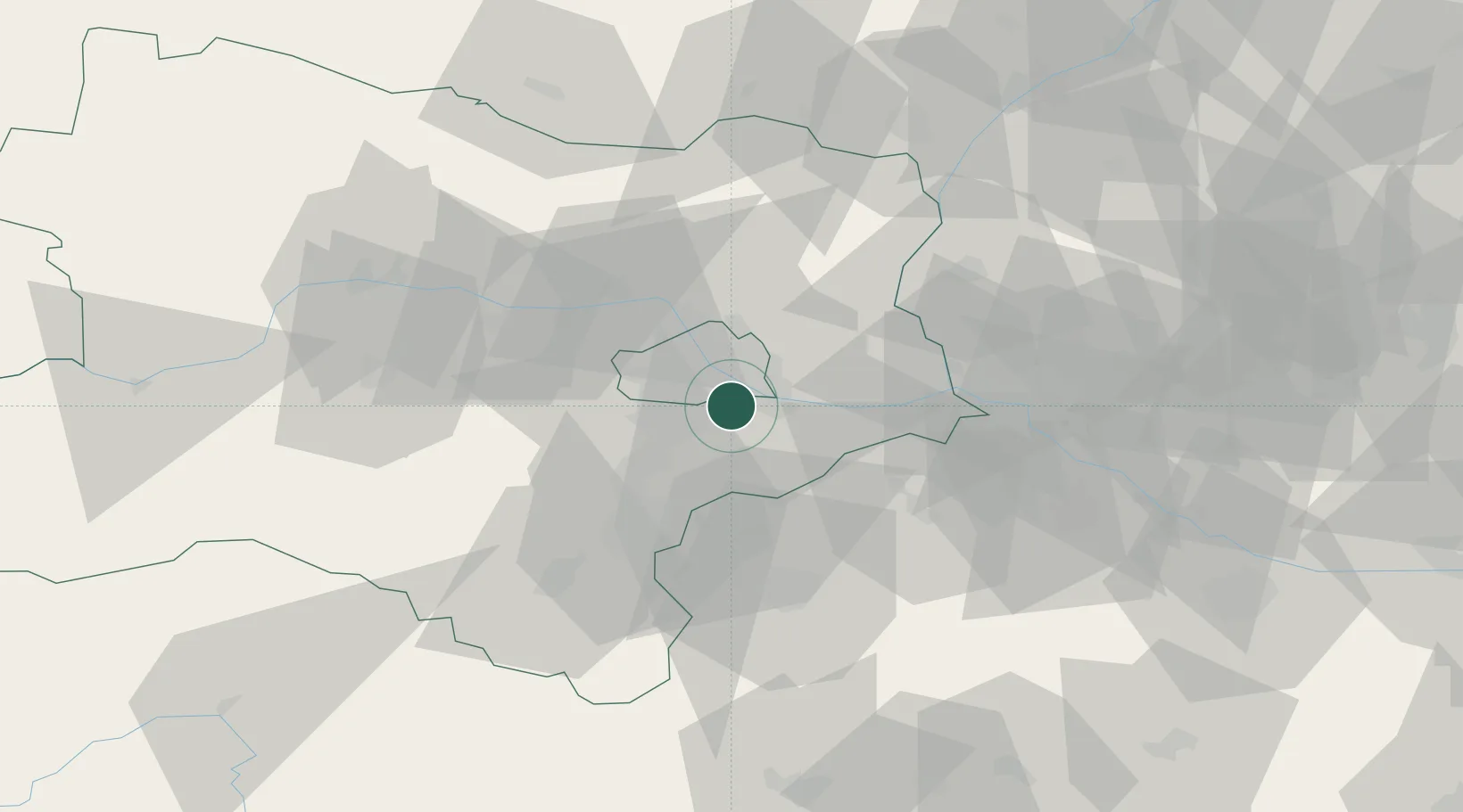
Hub Profile
Place type
District seat
Region
Lower Austria
Population
12,351
Time zone
Europe/Vienna
Elevation
163 m
Location
Nearby Logistics Neighbours
Cities
- 1Maria Lanzendorf5 km
- 2Wein6 km
- 3Freudenau6 km
- 4Himberg6 km
- 5Hennersdorf8 km
Ports
- 1Monfalcone342 km
- 2Trieste345 km
- 3Rijeka Luka348 km
- 4Bakar348 km
- 5Muggia349 km
Airports
Trade Zones
DatabookThe Record of Consolidated Knowledge
Austria beyond logistics?