Transport Functions
Port
Road
Hub Profile
Place type
Populated place
Region
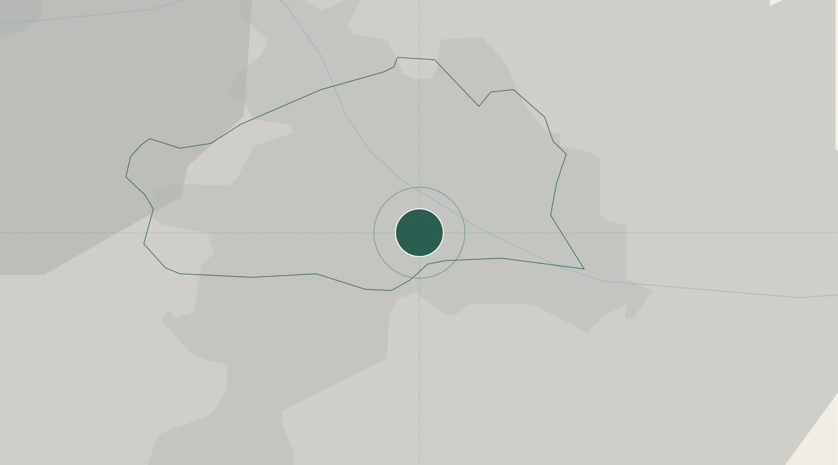
Vienna
Time zone
Europe/Vienna
Elevation
158 m
Location
Nearby Logistics Neighbours
Cities
- 1Wein2 km
- 2Schwechat6 km
- 3Maria Lanzendorf9 km
- 4Hennersdorf11 km
- 5Himberg11 km
Ports
- 1Monfalcone345 km
- 2Trieste348 km
- 3Muggia352 km
- 4Rijeka Luka352 km
- 5Bakar352 km
Airports
Trade Zones
DatabookThe Record of Consolidated Knowledge
Austria beyond logistics?