Transport Functions
Rail
Road
Hub Profile
Place type
Populated place
Region
Upper Austria
Population
7,475
Time zone
Europe/Vienna
Elevation
410 m
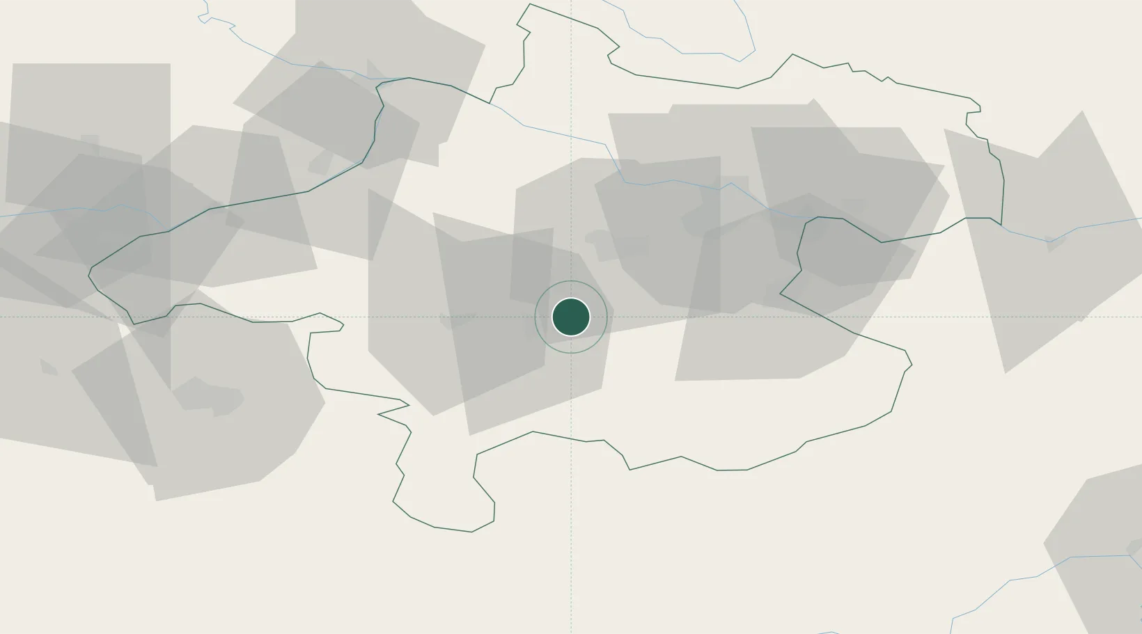
Location
Nearby Logistics Neighbours
Cities
- 1Eberstalzell5 km
- 2Laakirchen8 km
- 3Pettenbach9 km
- 4Stadl Paura10 km
- 5Scharnstein12 km
Ports
- 1Monfalcone248 km
- 2Nogaro256 km
- 3Grado260 km
- 4Trieste262 km
- 5Muggia267 km
Airports
- 1Linz-Hörsching Airport33 km
- 2Salzburg Airport72 km
- 3Hinterstoisser Air Base108 km
- 4České Budějovice South Bohemian Airport112 km
- 5Landshut Airfield151 km
Trade Zones
DatabookThe Record of Consolidated Knowledge
Austria beyond logistics?