Transport Functions
Rail
Road
Hub Profile
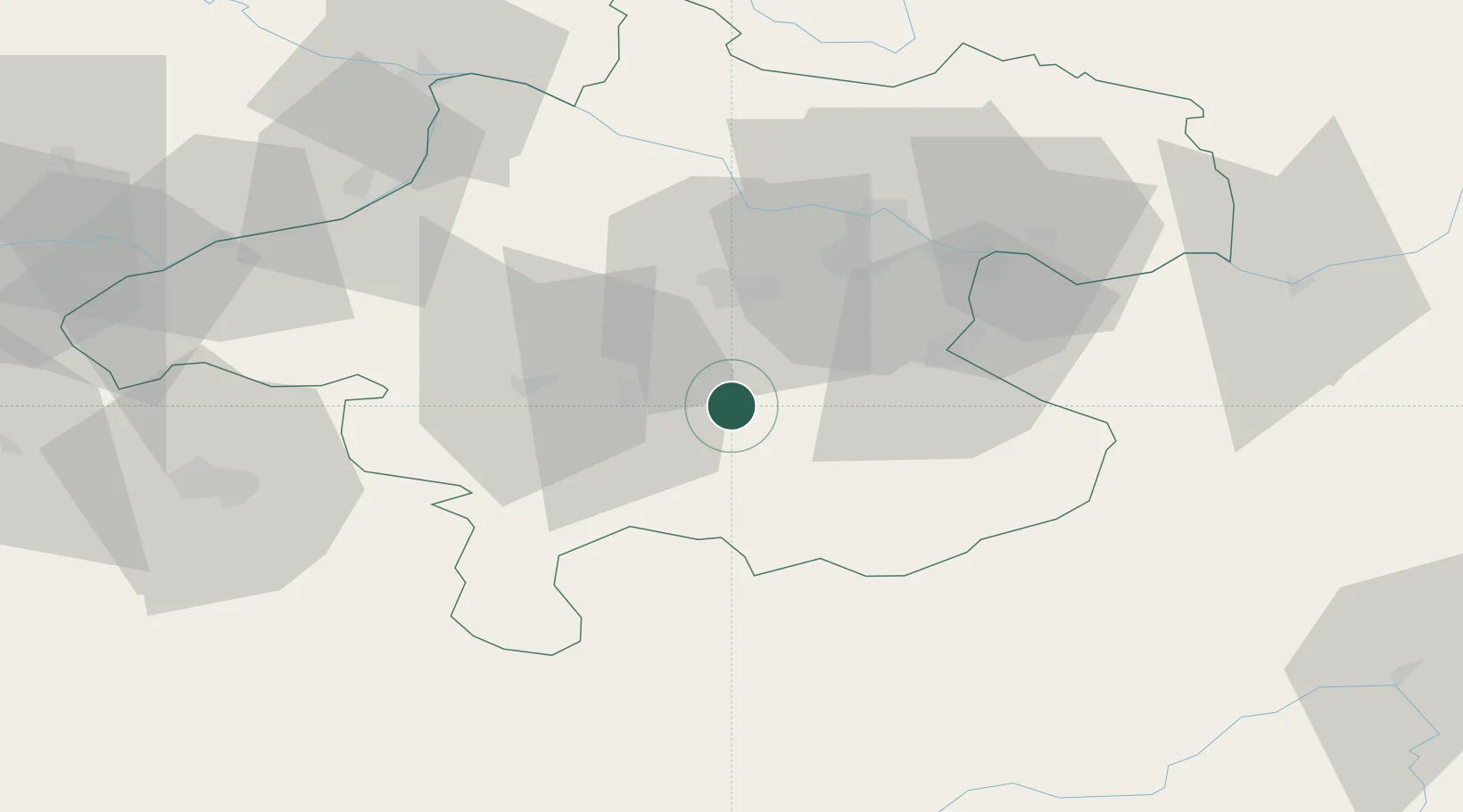
Place type
Populated place
Region
Upper Austria
Population
1,506
Time zone
Europe/Vienna
Elevation
486 m
Location
Nearby Logistics Neighbours
Cities
- 1Scharnstein7 km
- 2Vorchdorf9 km
- 3Kirchdorf an der Krems9 km
- 4Eberstalzell10 km
- 5Nussbach11 km
Ports
- 1Monfalcone244 km
- 2Nogaro252 km
- 3Grado256 km
- 4Trieste257 km
- 5Muggia262 km
Airports
- 1Linz-Hörsching Airport34 km
- 2Salzburg Airport78 km
- 3Hinterstoisser Air Base99 km
- 4České Budějovice South Bohemian Airport115 km
- 5Klagenfurt Airport147 km
Trade Zones
DatabookThe Record of Consolidated Knowledge
Austria beyond logistics?