Transport Functions
Multimodal
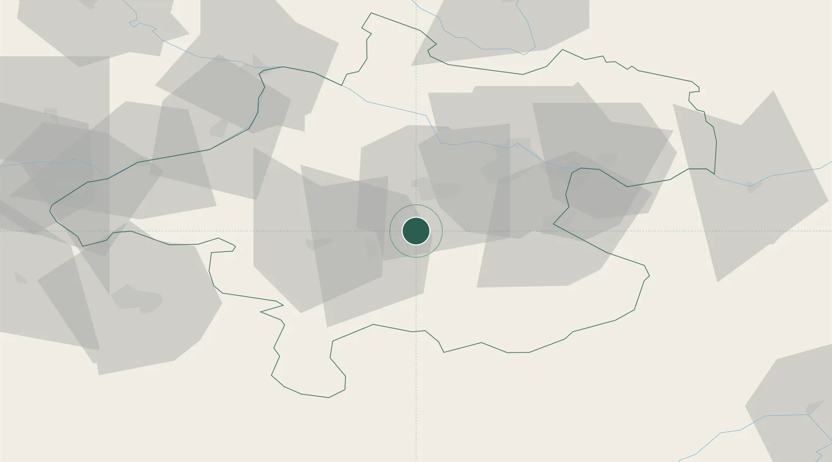
Hub Profile
Place type
Populated place
Region
Upper Austria
Population
1,065
Time zone
Europe/Vienna
Elevation
392 m
Location
Nearby Logistics Neighbours
Cities
- 1Vorchdorf5 km
- 2Sattledt8 km
- 3Stadl Paura9 km
- 4Steinhaus10 km
- 5Pettenbach10 km
Ports
- 1Monfalcone252 km
- 2Nogaro260 km
- 3Grado265 km
- 4Trieste265 km
- 5Muggia271 km
Airports
- 1Linz-Hörsching Airport28 km
- 2Salzburg Airport77 km
- 3České Budějovice South Bohemian Airport107 km
- 4Hinterstoisser Air Base109 km
- 5Landshut Airfield153 km
Trade Zones
DatabookThe Record of Consolidated Knowledge
Austria beyond logistics?