Transport Functions
Rail
Road
Hub Profile
Place type
District seat
Region
Upper Austria
Time zone
Europe/Vienna
Elevation
360 m
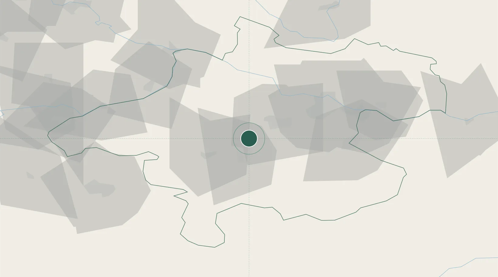
Location
Nearby Logistics Neighbours
Cities
- 1Eberstalzell9 km
- 2Vorchdorf10 km
- 3Gaspoltshofen11 km
- 4Pichl bei Wels11 km
- 5Steinhaus12 km
Ports
- 1Monfalcone257 km
- 2Nogaro264 km
- 3Grado269 km
- 4Trieste271 km
- 5Muggia276 km
Airports
- 1Linz-Hörsching Airport29 km
- 2Salzburg Airport72 km
- 3České Budějovice South Bohemian Airport105 km
- 4Hinterstoisser Air Base118 km
- 5Landshut Airfield144 km
Trade Zones
DatabookThe Record of Consolidated Knowledge
Austria beyond logistics?