Transport Functions
Rail
Road
Hub Profile
Place type
Populated place
Region
Upper Austria
Population
1,287
Time zone
Europe/Vienna
Elevation
512 m
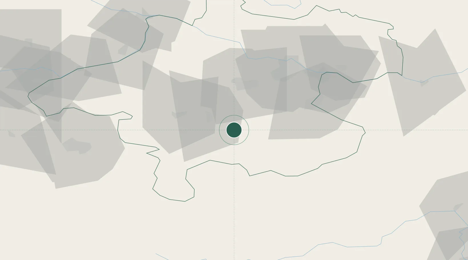
Location
Nearby Logistics Neighbours
Cities
- 1Pettenbach7 km
- 2Kirchdorf an der Krems11 km
- 3Vorchdorf12 km
- 4Gmunden13 km
- 5Micheldorf in Oberösterreich13 km
Ports
- 1Monfalcone238 km
- 2Nogaro246 km
- 3Grado250 km
- 4Trieste251 km
- 5Muggia256 km
Airports
- 1Linz-Hörsching Airport41 km
- 2Salzburg Airport73 km
- 3Hinterstoisser Air Base97 km
- 4České Budějovice South Bohemian Airport121 km
- 5Klagenfurt Airport143 km
Trade Zones
DatabookThe Record of Consolidated Knowledge
Austria beyond logistics?