Transport Functions
Rail
Road
Hub Profile
Place type
Populated place
Region
Upper Austria
Population
9,861
Time zone
Europe/Vienna
Elevation
439 m
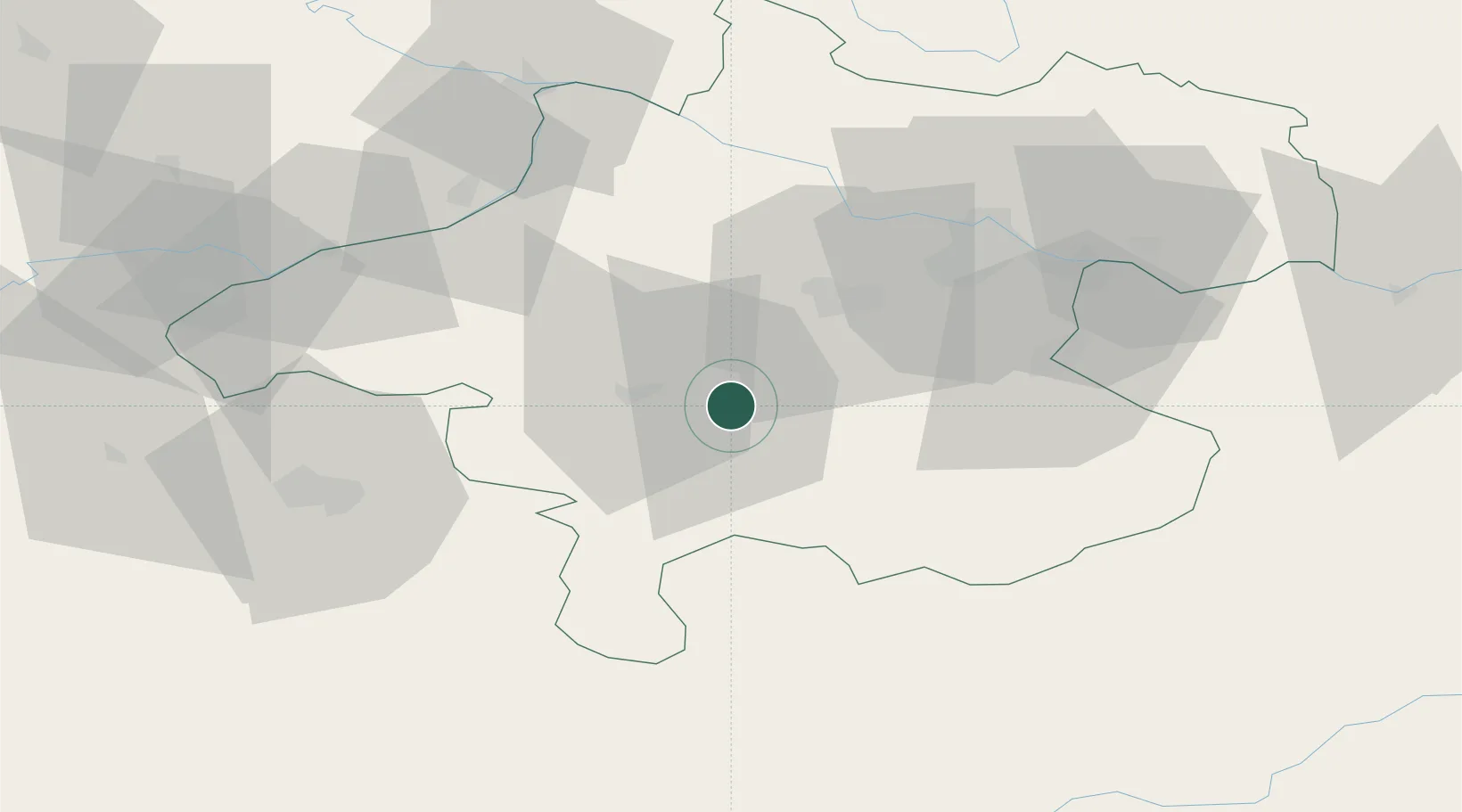
Location
Nearby Logistics Neighbours
Cities
- 1Gmunden6 km
- 2Vorchdorf8 km
- 3Attnang-Puchheim8 km
- 4Eberstalzell13 km
- 5Scharnstein13 km
Ports
- 1Monfalcone244 km
- 2Nogaro250 km
- 3Grado255 km
- 4Trieste258 km
- 5Muggia263 km
Airports
- 1Linz-Hörsching Airport41 km
- 2Salzburg Airport64 km
- 3Hinterstoisser Air Base110 km
- 4České Budějovice South Bohemian Airport118 km
- 5Landshut Airfield145 km
Trade Zones
DatabookThe Record of Consolidated Knowledge
Austria beyond logistics?