UN/LOCODE hub · Austria
ATKAN
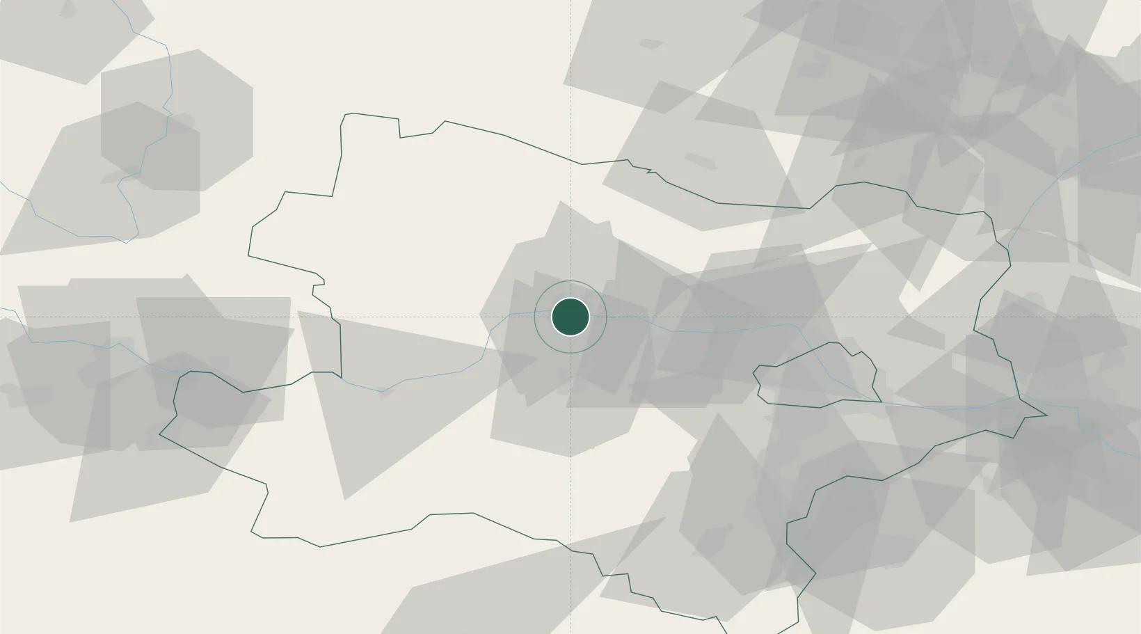
Krems an der Donau
48.4057°, 15.6476°
14,473
Population
1
Transport functions
Transport Functions
Multimodal
Hub Profile
Place type
District seat
Region
Lower Austria
Population
14,473
Time zone
Europe/Vienna
Elevation
195 m
Logistics facilities
1
Location
Nearby Logistics Neighbours
Cities
- 1Theiss4 km
- 2Hobenbach6 km
- 3Etsdorf am Kamp7 km
- 4Hadersdorf7 km
- 5Hadersdorf-Kammern7 km
Ports
- 1Monfalcone332 km
- 2Trieste339 km
- 3Muggia343 km
- 4Nogaro349 km
- 5Koper349 km
Airports
Trade Zones
DatabookThe Record of Consolidated Knowledge
Austria beyond logistics?