Transport Functions
Rail
Road
Hub Profile
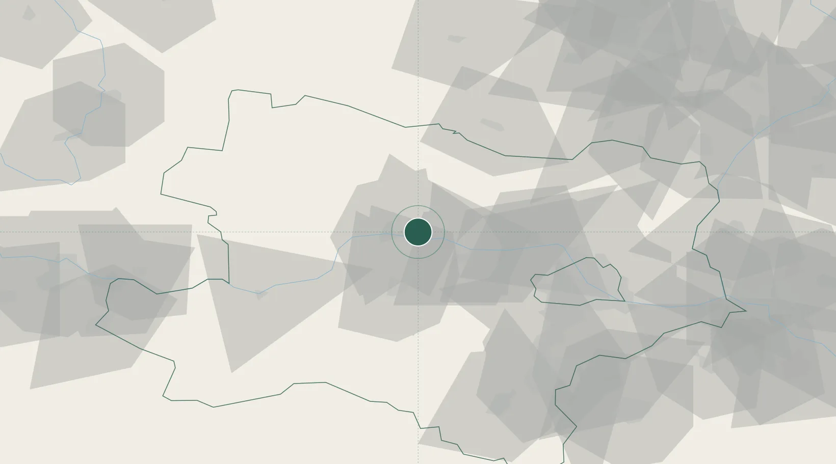
Place type
Populated place
Region
Lower Austria
Population
994
Time zone
Europe/Vienna
Elevation
194 m
Location
Nearby Logistics Neighbours
Cities
- 1Hadersdorf2 km
- 2Hadersdorf-Kammern2 km
- 3Engabrunn2 km
- 4Strass im Strassertale4 km
- 5Zobing7 km
Ports
- 1Monfalcone338 km
- 2Trieste344 km
- 3Muggia349 km
- 4Koper355 km
- 5Nogaro355 km
Airports
- 1Vienna International Airport72 km
- 2Wiener Neustadt West Airport76 km
- 3Wiener Neustadt East Airport76 km
- 4Náměšť Air Base86 km
- 5Malacky/Kuchyňa Air Base102 km
Trade Zones
DatabookThe Record of Consolidated Knowledge
Austria beyond logistics?