UN/LOCODE hub · Austria
ATSNI

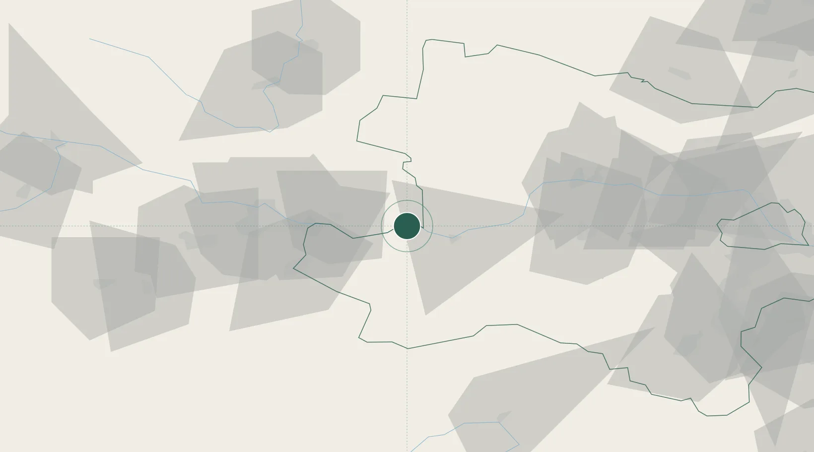
Sankt Nikola an der Donau

48.2333°, 14.9000°
212
Population
2
Transport functions

Transport Functions

Rail
Road
UN/LOCODE

Hub Profile

Place type
Populated place
GeoNames
Region
Upper Austria
GeoNames
Population
212
GeoNames
Time zone
Europe/Vienna
GeoNames
Elevation
246 m
GeoNames

Location

Location of ATSNI
Natural Earth 10m (public domain) · Upper Austria · ATSNI · 48.23, 14.90GoogleOSMYandex

Nearby Logistics Neighbours

Cities
  1. 1Grein5 km
  2. 2Weins9 km
  3. 3Baumgartenberg13 km
  4. 4Blindenmarkt13 km
  5. 5Persenbeug14 km
Nearest neighbours — logibook spatial index (haversine) over the source coordinates
Ports
  1. 1Monfalcone291 km
  2. 2Trieste300 km
  3. 3Nogaro305 km
  4. 4Muggia305 km
  5. 5Grado307 km
Nearest neighbours — logibook spatial index (haversine) over the source coordinates
Airports
  1. 1Linz-Hörsching Airport53 km
  2. 2České Budějovice South Bohemian Airport87 km
  3. 3Wiener Neustadt West Airport108 km
  4. 4Wiener Neustadt East Airport110 km
  5. 5Hinterstoisser Air Base115 km
Nearest neighbours — logibook spatial index (haversine) over the source coordinates
Trade Zones
  1. 1Freeport of Deggendorf162 km
  2. 2Světlá nad Sázavou Municipal Industrial Zone164 km
  3. 3Černovická Terasa Industrial Zone167 km
  4. 4Industrial Zone Kutna Hora192 km
  5. 5Veselí nad Moravou Industrial Zone199 km
Nearest neighbours — logibook spatial index (haversine) over the source coordinates
DatabookThe Record of Consolidated Knowledge
Austria beyond logistics?
Browse databook

All Sources

LocationsUN/LOCODE
UN/LOCODE — free
LocationsGeoNames
CC BY 4.0
Portsthe NGA World Port Index
Public domain (US gov)
AirportsOurAirports
Public domain
Trade Zonesthe World Bank SEZ database
CC BY 4.0
Trade ZonesOpen Zone Map
CC BY
← Austria locations